This copy is copyright protected.
Copyright © 2024 Geographicus Rare Antique Maps
1939 Surveyor City Map of Washington, D.C. with Manuscript Railroad Notations
DCHighways-surveyor-1939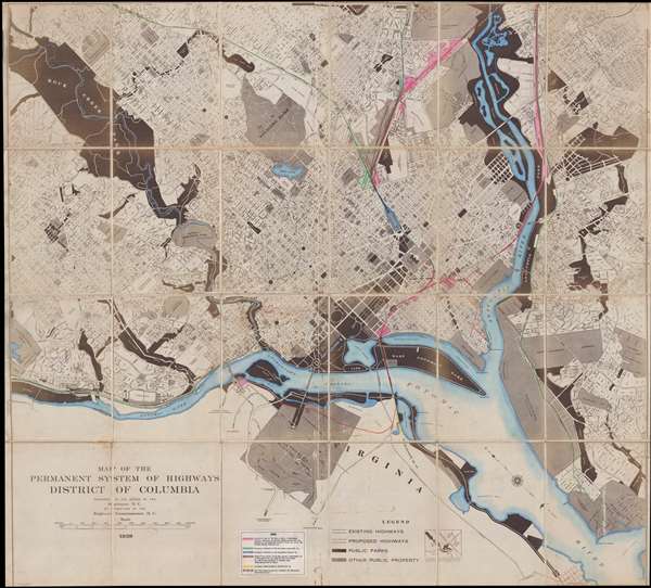

Copyright © 2024 Geographicus Rare Antique Maps | Geographicus Rare Antique Maps
This copy is copyright protected.
Copyright © 2024 Geographicus Rare Antique Maps