This copy is copyright protected.
Copyright © 2024 Geographicus Rare Antique Maps
1835 Manuscript Map of Hispaniola or Santo Domingo, West Indies
Haiti-manuscript-1835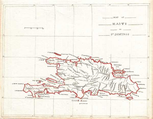

Copyright © 2024 Geographicus Rare Antique Maps | Geographicus Rare Antique Maps
This copy is copyright protected.
Copyright © 2024 Geographicus Rare Antique Maps