This copy is copyright protected.
Copyright © 2024 Geographicus Rare Antique Maps

Details
1958 British War Office Chart or Map of Singapore
1958 (dated) $1,200.00
1953 British War Office Chart of Singapore and Johor Bahru, Malaysia
SingaporeJahoreBahru-gsgs-1953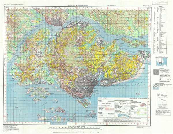

Copyright © 2024 Geographicus Rare Antique Maps | Geographicus Rare Antique Maps
This copy is copyright protected.
Copyright © 2024 Geographicus Rare Antique Maps