This copy is copyright protected.
Copyright © 2024 Geographicus Rare Antique Maps
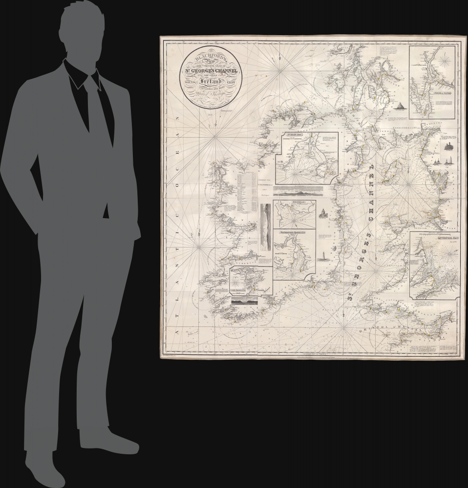
1834 Blachford Nautical Chart or Map of St. George's Channel
StGeorgesChannel-blachford-1834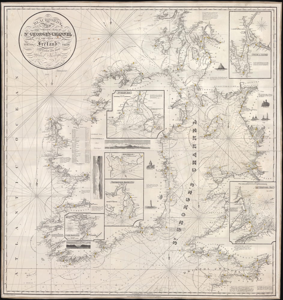

Robert Blachford (1775 - c. 1852) was an Irish maker of blueback nautical charts active in the middle part of the 19th century. Compared with many major nautical chart publishers in London, little is known of Blachford. Around 1802 he married Elizabeth Moore, the daughter of the John Hamilton Moore (1738 - 1807), a prolific producer of navigational textbooks and nautical charts. Blachford must have been introduced to nautical chart making by Moore, but his partnership with the latter was short-lived and dissolved two years later in 1804. By 1805, Blachford had established his own firm located at 137 Minories, London. Initially, Blachford's business seems to have been poor and he produced charts only sporadically until about 1808, when he opened a new shop at 114 Minories. From this location he published about 20 - 30 known charts primarily focusing on the North Sea and the Baltic. Most of these were based on Moore's earlier work but fully re-engraved by Samuel Stockley (who also, incidentally, engraved for William Heather). With such a meager publication history, it is unsurprising that Blachford declared bankruptcy in May of 1819. Shortly thereafter Blachford was back in business and partnered with William Lane. This partnership was also short-lived, issuing about 15 charts before being dissolved in 1821. Around 1827 Blachford again reappeared, this time at his old stomping ground Minories (116), an office he would maintain for the next 25 years. Robert this time partnered with William Blachford, presumably a relative though the relationship is unclear. The firm issued numerous charts focused on the British coastal trade. The rough and damp conditions synonymous with this trade determined that few Blachford charts from this period would survived. Around 1835 Robert and William Blachford retired, passing the business on to Michael Blachford (1807 - 1889), who partnered with the stationer and draftsman James Imray. The Imray-Blachford partnership proved potent. Athough new to the field of chart making, Imray was hard working, intelligent, and ambitious. By 1846, Imray had bought out Michael Blachford and was on the rise to being the largest and most prominent maker of nautical charts in history. More by this mapmaker...
Copyright © 2024 Geographicus Rare Antique Maps | Geographicus Rare Antique Maps
This copy is copyright protected.
Copyright © 2024 Geographicus Rare Antique Maps