This copy is copyright protected.
Copyright © 2024 Geographicus Rare Antique Maps
1830 Manuscript Map of Bombay or Mumbai, India
BombayMumbai-manuscript-1830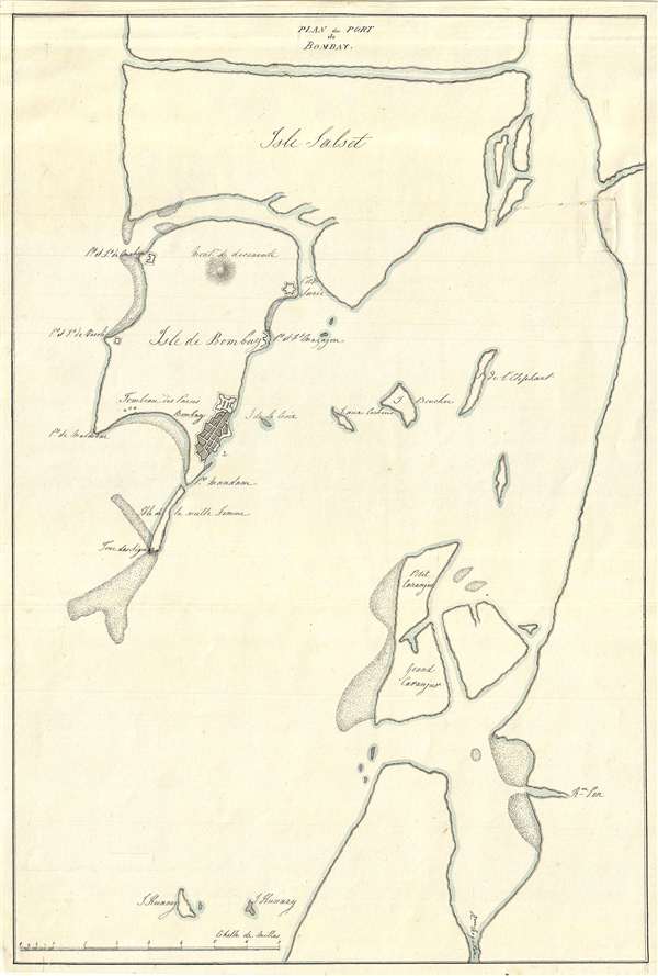

Copyright © 2024 Geographicus Rare Antique Maps | Geographicus Rare Antique Maps
This copy is copyright protected.
Copyright © 2024 Geographicus Rare Antique Maps