This copy is copyright protected.
Copyright © 2024 Geographicus Rare Antique Maps
1835 Manuscript Map of the Kotzebue Sound in Northwest Arctic region of Alaska
Chamisso-manuscript-1835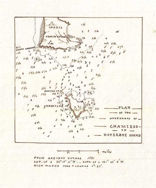

Copyright © 2024 Geographicus Rare Antique Maps | Geographicus Rare Antique Maps
This copy is copyright protected.
Copyright © 2024 Geographicus Rare Antique Maps