This copy is copyright protected.
Copyright © 2024 Geographicus Rare Antique Maps
1913 Denny and Co. Pocket Map of Santa Clara County, California
SantaClara-denny-1913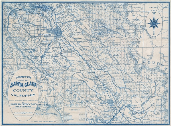

Copyright © 2024 Geographicus Rare Antique Maps | Geographicus Rare Antique Maps
This copy is copyright protected.
Copyright © 2024 Geographicus Rare Antique Maps