This copy is copyright protected.
Copyright © 2024 Geographicus Rare Antique Maps
Details
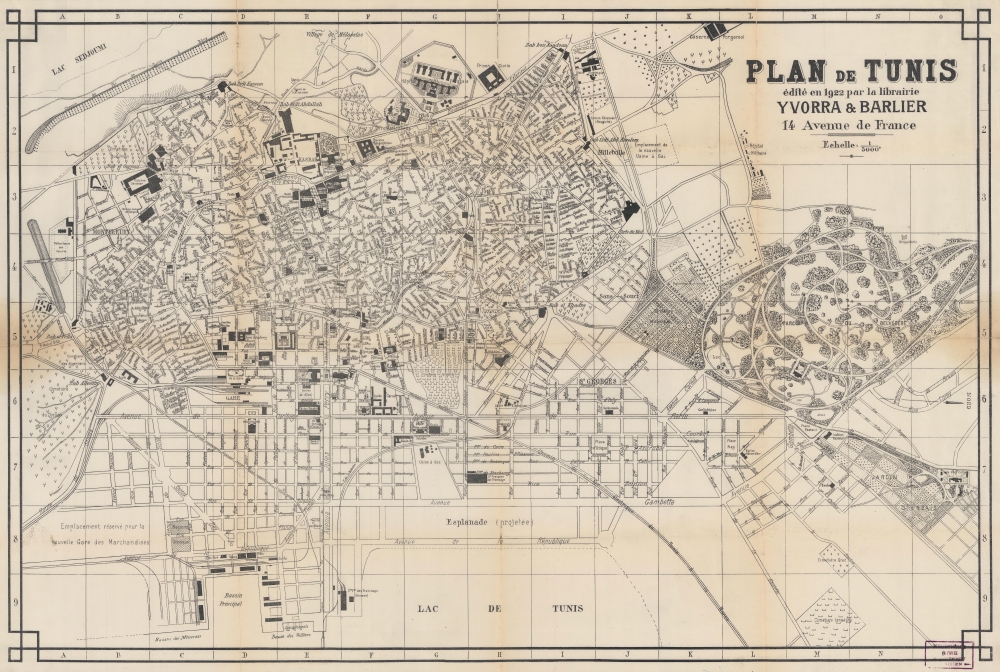
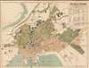
1922 Yvorra and Barlier City Plan or Map of Tunis, Tunisia
1922 (dated) $550.00
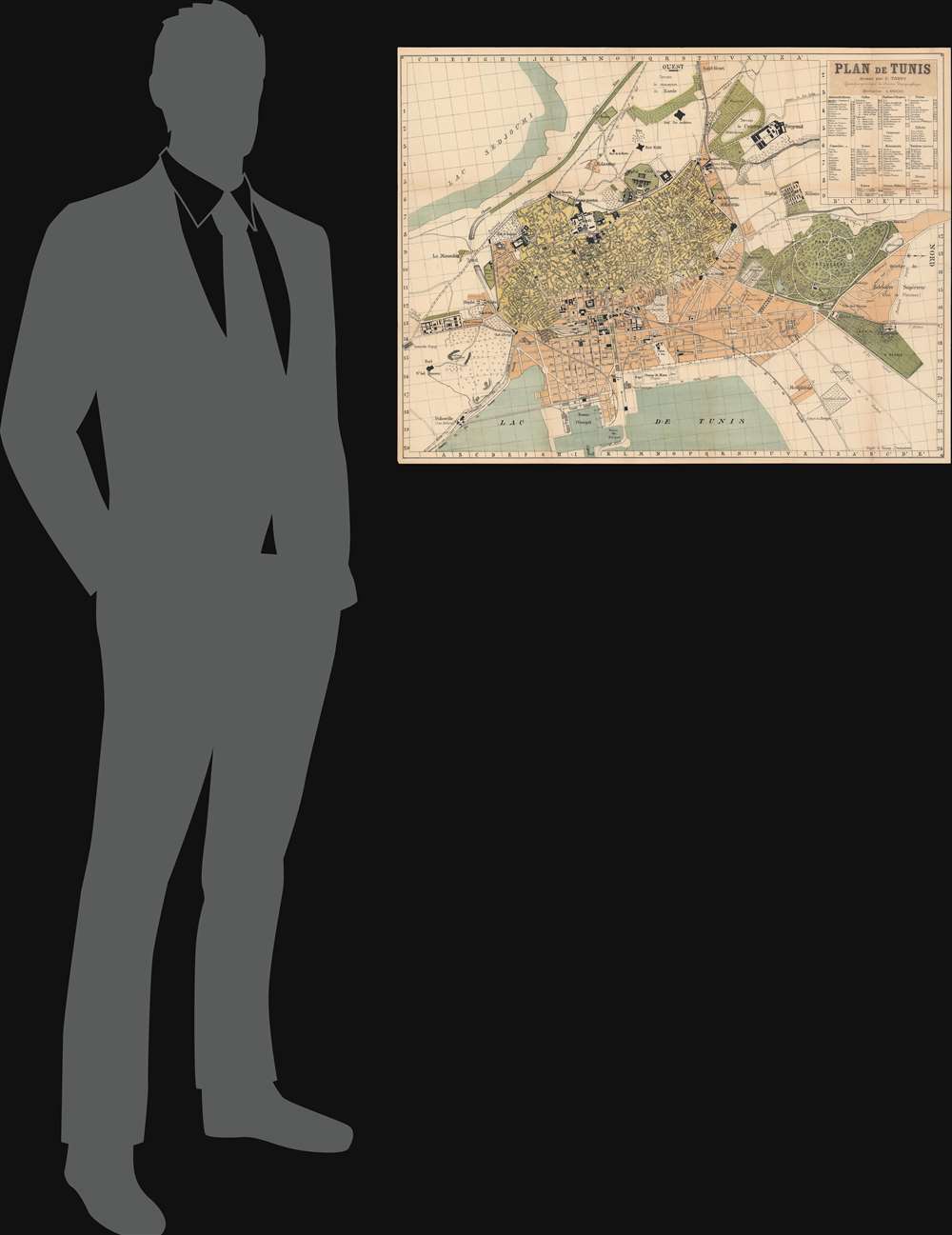
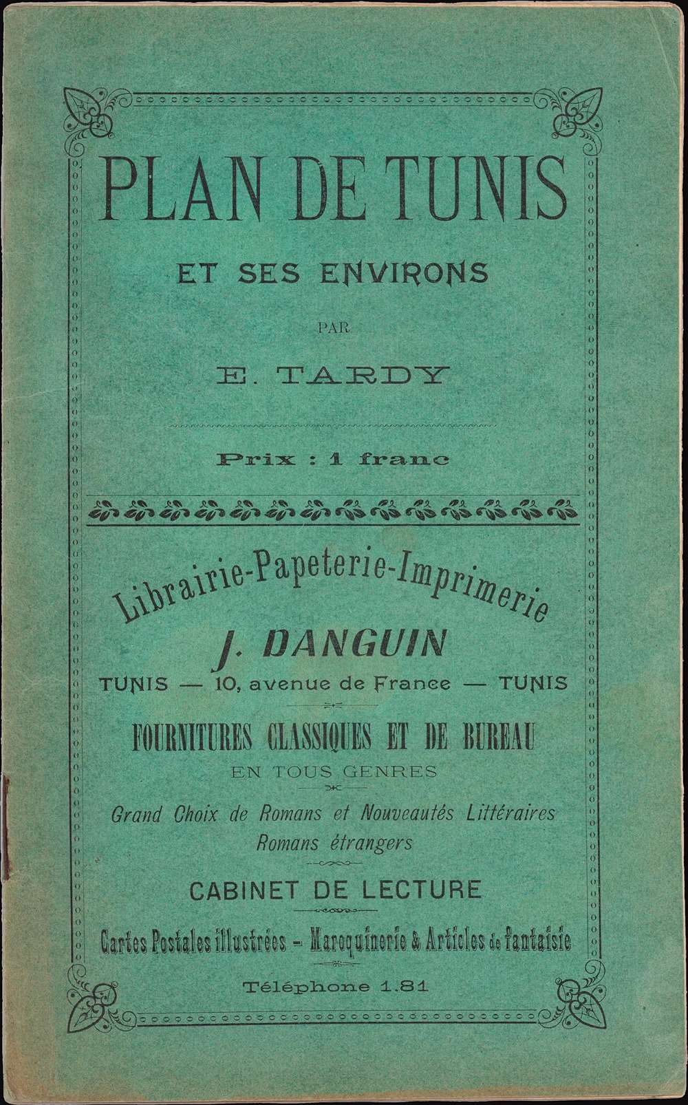
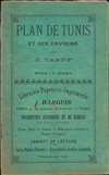
1899 Tardy Map of Tunis, Tunisia
Tunis-tardy-1899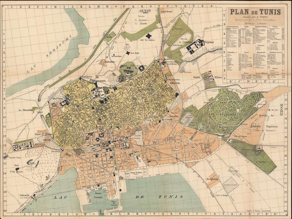

Copyright © 2024 Geographicus Rare Antique Maps | Geographicus Rare Antique Maps
This copy is copyright protected.
Copyright © 2024 Geographicus Rare Antique Maps