This copy is copyright protected.
Copyright © 2024 Geographicus Rare Antique Maps
1925 Marine Trust and Savings Bank Map of Long Beach, California
LongBeach-marinebank-1925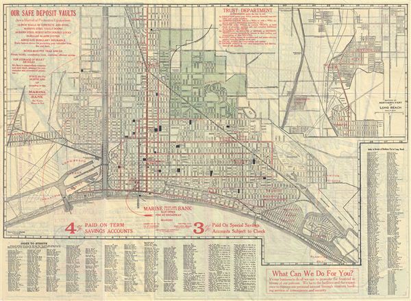

Copyright © 2024 Geographicus Rare Antique Maps | Geographicus Rare Antique Maps
This copy is copyright protected.
Copyright © 2024 Geographicus Rare Antique Maps