
Chinese Maps
Largest and Most Detailed Early-19th Century Map of China.

This is a massive (98 x 134 in) 64-sheet 1832 wall map of Qing China, prepared by Dong Fangli and Li Zhaoluo. Building on administrative maps of the early-mid Qing, it represented the most detailed and accurate mapping of China and surrounding territories under Qing suzerainty produced in the early 19th century. (more details)
The first Chinese designed and issued commercial map.
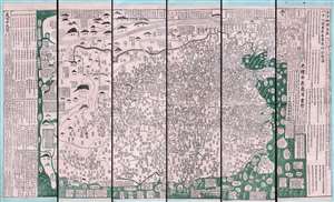
古今地舆全圖 / Full Modern and Ancient Map.
$65,000.00
Acquire
- Digital Map Information
- Suitable for large format printing
- Full resolution TIFF file
- ICC color profile embedded
- Delivered instantly via download link
A rare and important discovery, this is Mingjie Liu's (刘明杰) (1857 - 1911) important 1892 (Guangxu 18) Qing Era xylographic (woodcut) map of China - the earliest known example of what is considered China's first commercial map and possibly the first Chinese comical map. The map was revolutionary when Liu created it, as this was neither administrative nor religious; instead, it was a commercially marketed folk piece, muban nianhua (木版年画), created in Yangjiabu, Shandong, for traditional Chinese New Year festivals. Coverage extends to all of China, as well as marginal inclusions in the form of tenuous mappings of foreign places, including European countries, Southeast Asia, India, and apocryphal destinations. (more details)
Oldest map of any part of Shanghai.
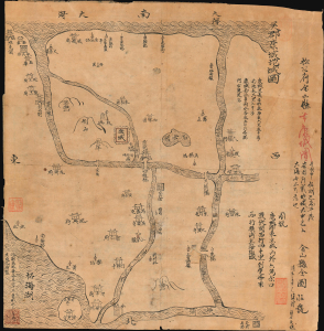
Regional map of Wujun Kangcheng. / 吳郡康城地域圖 / Full map of Jinshan County. 金山縣全圖
$12,000.00
Acquire
- Digital Map Information
- Suitable for large format printing
- File Size: 9.32 MB
- File Type: ZIP / TIFF
- ICC color profile embedded
- Delivered instantly via download link
This is an extraordinary Qing-era Chinese manuscript map by Huang Tingxi (黄廷熙) illustrating Jinshan County, today the Jinshan District of Shanghai Municipality, as it was c. 322 AD / CE. Much of the territory depicted here is underwater today, but this map nonetheless represents the earliest specific cartographic representation of the Shanghai region. (more details)
Imperial Struggle for the Manchu Homeland
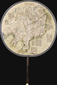
東三省俄部邊防全省圖說 / [Illustrated Description of the Russian Section of the Three Eastern Provinces for Border Defense].
$11,000.00
Acquire
- Digital Map Information
- Suitable for large format printing
- Full resolution TIFF file
- ICC color profile embedded
- Delivered instantly via download link
This is a stunning c. 1900 manuscript fan map of Manchuria prepared by a group of Qing military officers led by one surnamed Ren. Demonstrating astonishingly fine and meticulous workmanship, it covers the border region of Manchuria at a time when Qing rule of their Manchu homeland was greatly imperiled by both the Russian Empire and Imperial Japan. (more details)
Buddhist Pilgrim's Progress.

山西汾州府介休縣綿山抱腹巗圖 / [View of Baofu Cliff, Mianshan, Fenzhou Prefecture, Jiexiu County, Shanxi].
$3,200.00
Acquire
- Digital Map Information
- Suitable for large format printing
- Full resolution TIFF file
- ICC color profile embedded
- Delivered instantly via download link
A rare and likely unique survival, this is a 1890 Buddhist pilgrim map, drawn and printed by monks, depicting the Yunfeng Temple (雲峰寺) and associated Buddhist and Daoist sites on Mianshan (绵山), Shanxi, China. These ephemeral works provide uncommon insight into the religious life of the late Qing era, much of which has been lost due to China's destructive 20th-century wars and revolutions. (more details)
Tibet between Independence and Incorporation.
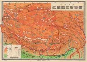
This is a scarce c. 1955 Chinese wall map of Tibet printed by the Chunghwa (or Zhonghua) Book Company in Shanghai and published by the China Cartographic Publishing House in the wake of the October 1950 invasion of Tibet by the People's Liberation Army. It was ostensibly drawn for classroom use in middle schools (中學適用), but the map is part of a broader effort to generate support for Chinese sovereignty over Tibet and legitimize their claims. (more details)
Front line of the Cold War in Asia.
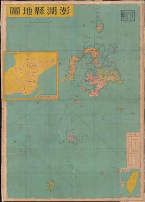
This is a c. 1971 Ch'en I-jen map of the Penghu Islands (also known as the Pescadores) in Taiwan (Republic of China). As it was being produced, the international context was rapidly changing, and the Cold War tensions that had made the strategically located Penghus a focus of international attention were decreasing. (more details)
Occupation and Starvation in China's Great Southern Metropolis.
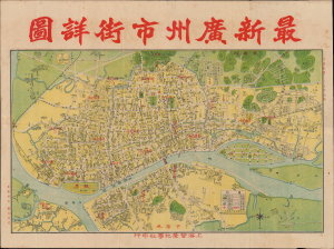
最新廣州市街詳圖 / [Latest Detailed Street Map of Guangzhou].
$1,200.00
Acquire
- Digital Map Information
- Suitable for large format printing
- Full resolution TIFF file
- ICC color profile embedded
- Delivered instantly via download link
This is a rare 1940 city map of Guangzhou (Canton), China, published by the firm Shanghai Feisheng Geological. It is a rare record of Guangzhou's arduous Japanese occupation in the Second Sino-Japanese War (1937 - 1945) / World War II (1939 - 1945). (more details)
A highly detailed city map of Beijing featuring inset maps along the bottom border.
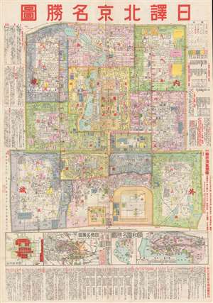
Beijing. / 圖勝名京北譯日.
$1,150.00
Acquire
- Digital Map Information
- Suitable for large format printing
- File Size: 21.39 MB
- File Type: ZIP / TIFF
- ICC color profile embedded
- Delivered instantly via download link
This is a c. 1930 Chinese city map or plan of Beijing (Peking), China. The map depicts the Outer city, the Inner city, the Imperial city, and the Forbidden City in minute detail, Myriad streets are labeled, as are various buildings, parks, temples, and altars. The ... (more details)
Treaty Port Tianjin.
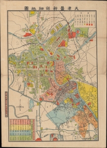
天津最新詳細地圖 / [Latest Detailed Map of Tianjin].
$950.00
Acquire
- Digital Map Information
- Suitable for large format printing
- File Size: 18.69 MB
- File Type: ZIP / TIFF
- ICC color profile embedded
- Delivered instantly via download link
An unrecorded map of Tianjin (Tientsin), China, printed in 1924 by an unknown creator. It depicts the city at the height of the treaty port era (1842 - 1943), when foreign concessions divided the city into separate administrative zones. (more details)
Colonialism or Economic Aid?
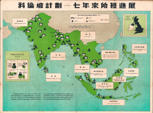
This is a rare c. 1957 map of India, Southeast Asia, the East Indies, and the Philippines, created to promote the achievements of the 'Colombo Plan' - a multinational economic initiative intended to foster social and economic development in the Asia-Pacific region. The map is entirely in Chinese and is presumably intended to propagandize the Colombo Plan to a Chinese audience. Coverage extends from the Indus Valley to the Philippines and from Nepal to Java and Timor. Symbols illustrate various types of development influenced by the Colombo Plan. Text and graphs on the map highlight the British contribution to the effort. (more details)
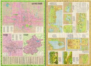
This is an unusual 1976 map of Beijing or Peking, China. This map was published in the final year of the Cultural Revolution and just a few months before Mao's death. Printed on both sides, recto contains three incredibly detailed maps, depicting the entire city ... (more details)
Published in the last year of the Cultural Revolution.
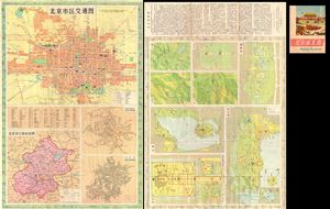
This is an unusual 1976 map of Beijing or Peking, China. This map was published in the final year of the Cultural Revolution and just a few months before Mao's death. Printed on both sides, recto contains three incredibly detailed maps, depicting the entire city ... (more details)