
Agostini, Giovanni De
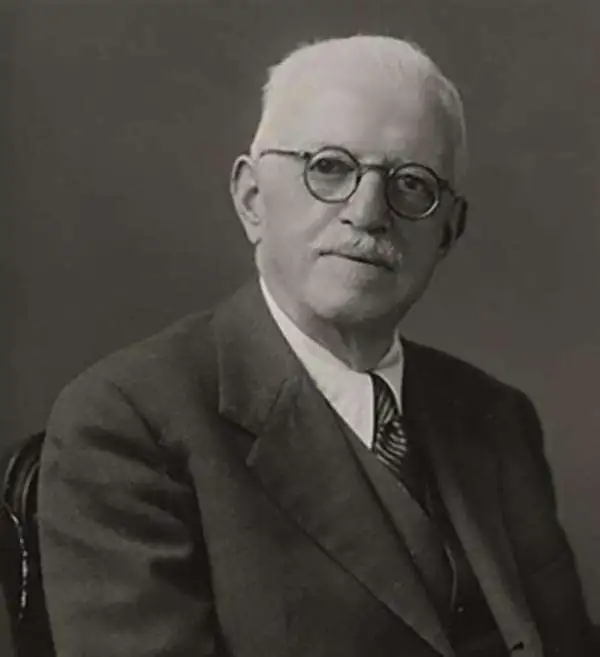
Giovanni De Agostini (August 23, 1863 - November 21, 1941) was an Italian cartographer and publisher. In 1901, he founded the Istituto Geografico Italiano del dott. G. De Agostini and C. in Rome. In addition to school atlases, the group published the Calendario Atlante de Agostini, a compact yearbook, calendar, and atlas, which was highly successful. In 1908, the company moved to Novara in Piemonte, in large part to be closer to Germany, from where they sourced their equipment. In 1919, the company was acquired by Marco Boroli and Cesare Rossi and began to expand more rapidly, including the installation of Italy's first rotogravure printing press and the publication of the esteemed Grande Atlante Geografico, though it retained its name and identity. After De Agostini's death, the Istituto geografico and publishing house he had founded continued to use his name. His younger brother, Alberto Maria de Agostini (1883 - 1960) was a Salesian priest and polymath who lived most of his life in Tierra del Fuego and Patagonia, contributing greatly to the geographic and ethnographic knowledge of the region. Giovanni's son, Federico De Agostini (1905 - 1960), began working at the firm in 1927 and was known for his own discoveries in South America as well as several important maps, textbooks, encyclopedias, and murals, including some in Arabic. Another of Agostini's sons, Giovanni De Agostini, Jr., became especially adept at speaking and reading Arabic and was an expert on the history of Islam. In the years after the Second World War, the company retained the name Agostini but was fully taken over by the Boroli family. It diversified into publishing school textbooks, books on art, children's books, encyclopedias, and more. In subsequent decades, it became one of the best known Italian publishing houses and expanded throughout Europe to become a multifaceted international holding company with publishing, cartographic, arts, media, gaming, and asset management subsidiaries.
Celebrating Italian cuisine.
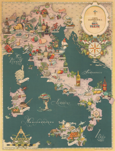
Carta Gastronomica del Bel Paese.
$1,200.00
Acquire
- Digital Map Information
- Suitable for large format printing
- Full resolution TIFF file
- ICC color profile embedded
- Delivered instantly via download link
This is a 1949 Vsevolode Nicouline pictorial gastronomic map of Italy. The map celebrates Italian culinary tradition with pictorial illustrations of delicacies filling the peninsula, Sicily, and Sardinia. (more details)
Earliest Map of Abu Dhabi after Independence.
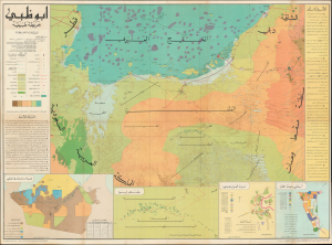
This is a large-format c. 1971 Arabic-language map of Abu Dhabi and environs prepared by Mohamed Morsi Abdullah. It constitutes the earliest official map of Abu Dhabi as an independent, post-colonial entity and as the capital of the United Arab Emirates (U.A.E.). (more details)
The Emirates' Earliest School Atlas.
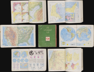
أطلس الامارات العربية المتحدة والعالم / [Atlas of the United Arab Emirates and the World].
$750.00
Acquire
This is a c. 1972 Arabic-language school atlas of the world with a focus on the United Arab Emirates, published by Said Sabbagh in Beirut. It is likely the earliest published atlas to specifically highlight the Emirates following their independence from Britain in late 1971. (more details)