
Akrell, Carl Fredrik
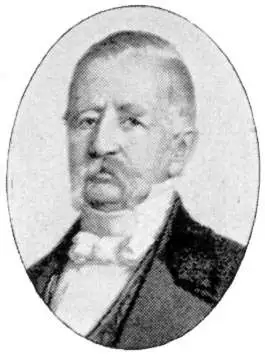
Carl Fredrik Akrell (January 13, 1779 - December 11, 1868) was a Swedish military cartographer and engraver active in the early 20th century. Akrell was born in Uppsala, Sweden to a middle class family. He joined the military as a young man and exhibiting proficiency with mathematics was assigned to the survey department where he worked under Gustave Wilhelm af Tibell. He participated in the fortification of the Stockhom archipelago and fought with distinction in the battles of Gross-Beeren, Dannewits, and Leipzig. Following a distinguished showing in the battle of Leipzig, Akrell was honored as a "Knight of the Sword" and adopted into the nobility. In time Akrell attained the rank of Major General. Cartographically Akrell is best known for his engraved maps of Stockholm and the aquatints he etched for Jean Baptiste Le Chevalier's Trip Propontiden and Black Se and Axel Leonhard Klinckowström Bref om de Förenta Staterna.
European investigation of the Steamship.
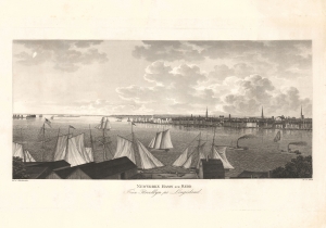
Newyorks Hamn och Redd Fran Brooklyn pa Longisland.
$2,500.00
Acquire
- Digital Map Information
- Suitable for large format printing
- File Size: 14.71 MB
- File Type: ZIP / TIFF
- ICC color profile embedded
- Delivered instantly via download link
A fine and highly desirable 1824 aquatint of New York City and harbor as seen from Brooklyn. The view is based on a drawing composed by the Swedish naval officer Baron Axel Leonhard Klinkowström on his 1818 - 1820 reconnaissance tour of the United States, undertaken to evaluate the practicality of the newly invented steamship for use by the Swedish Navy. (more details)
The United States for the curious Swede.
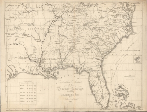
Southern Section of the United States including Florida etc. by John Melish.
$2,400.00
Acquire
- Digital Map Information
- Suitable for large format printing
- File Size: 17.01 MB
- File Type: ZIP / TIFF
- ICC color profile embedded
- Delivered instantly via download link
This is a rare 1824 Swedish map of Florida and the Southeastern United States published by Axel Leonard Klinckowström after the scarce 1816 map of John Melish. The map accompanied Klinckowström's Tocqueville-style narrative, expounding on the United States for Swedish audiences. (more details)