
Blanchet, Adrien
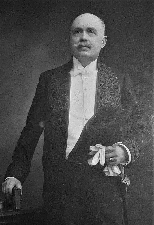
Adrien Blanchet (March 8, 1866 - December 27, 1957) was a French scholar of ancient Rome and Gaul. He studied at the Ecole des Hautes Études and the Ecole du Louvre, taking courses with many of the leading French archaeologists of the time. He worked for many years at the Cabinet des médailles of the Bibliothèque nationale de France and was a leading expert on the coinage of the ancient world, serving as the Secretary and then Director of the Revue numismatique. He was elected a member of the Académie des Inscriptions et Belles-Lettres in 1919. His knowledge of the ancient world expanded into other fields as well, such as research on aqueducts. He oversaw the multipart atlas series Carte archéologique de la Gaule romaine in the late 1920s and early 1930s.
Île de Beauté.
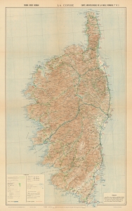
La Corse. Forma Orbis Romani. Carte archéologique de la Gaule romaine Flle. No. 3.
$500.00
Acquire
- Digital Map Information
- Suitable for large format printing
- File Size: 154.07 MB
- File Type: ZIP / TIFF
- ICC color profile embedded
- Delivered instantly via download link
A large-format highly topographical and historical map of Corsica, produced by the Service géographique de l'Armée and published in 1933 as part of the series Forma Orbis Romani Cartes Archéologique de la Gaule Romaine. (more details)