
Bolshev, Andrey Alexandrovich (Андрей Александрович Большев)
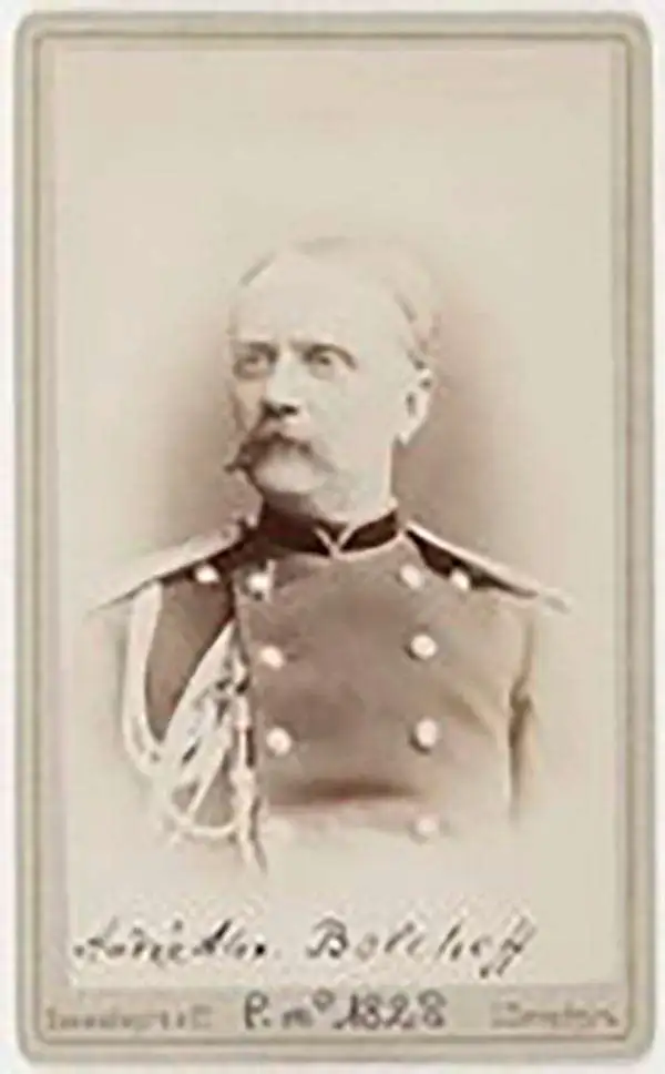
Andrey Alexandrovich Bolshev (Андрей Александрович Большев; 1828 – 1904) was a Russian surveyor, geographer, and cartographer who served as a Major General and headed the Topographic Department of the Imperial Army's General Staff. Born in Novgorod province, he studied at the Russian Empire's Military Topographic School (Военно-топографическое училище) and joined the Military Topographic Depot (Военно-топографическом депо). He is best known for overseeing the production of a massive 1884 map of 'Russian Asia' (Карта Азиатской России) that he and his team spent twenty years researching. He was deeply involved in the Imperial Russian Geographical Society (Русское географическое общество) and was considered one of Russia's foremost experts on the geography of Siberia and the Russian Far East. His younger brother, Colonel Loggin Alexandrovich Bolshev (Логгин Александрович Большев; 1834 - 1880), was also a military cartographer who made significant contributions to geographical knowledge of 'Russian Asia,' most notably leading an 1874 expedition to map most of the coast of the Sea of Japan and the Tatar Strait from Plastun Bay to Chikhachev Bay.
AKA: Андрей Александрович Большев
Mansucript record of a multinational Survey the Himalayas on the Eve of the Great War.
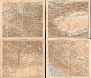
Карта южной пограничной полосы азиатской россіи XIX. ТАШКЕНТЪ ; XX. КАШГАРЪ ; КАБУЛЪ (XXVII) ПЕШАВАРЪ ; XXVIII ЛЕ, СИМЛА, ДЕЛИ/ [Map of the Southern Border Zone of Asiatic Russia XIX. Tashkent ; XX. Kashgar ; Kabul (XVII) Peshawar ; XXVIII Leh, Shimla, Delhi].
$5,000.00
Acquire
- Digital Map Information
- Suitable for large format printing
- Full resolution TIFF file
- ICC color profile embedded
- Delivered instantly via download link
This unique set of four Russian military topographic maps of Central and Inner Asia (each measuring 22.25 x 26.25 in.) bears English-language manuscript notes recording Filippo De Filippi's scientific expedition of 1913 - 1914. The expedition greatly improved scientific mapping of the Karakoram Pass, an ancient caravan route through the Himalayas connecting India and China (more specifically, Leh and Tibet), and attempted to trace the Yarkand River's origins. Though billed as an Italian expedition, it was in fact a multinational team that drew on the expertise of earlier Russian and British explorers, Filippi's own previous surveys in the region, and local Survey of India workers deeply familiar with the region's landscape, languages, and climate. This scientific cosmopolitanism is especially notable given the recent 'Great Game' tensions between Britain and Russia, ameliorated by the early 20th century, and when set against the backdrop of World War I (1914 - 1918), which broke out while the expedition was in the field. The map's annotations, most likely made by Major Henry Wood of the Survey of India, connect Srinagar, Skardu, Leh, the eastern Karakoram, and Kashgar, identifying successive bases for exploration, illustrating the expedition unfolding in situ. (more details)