
Fischer, LeRoy Henry
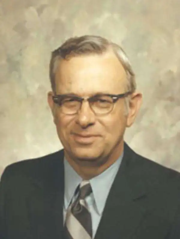
LeRoy Henry Fischer (May 19, 1917 - March 11, 2014) was an American historian and veteran. Fisher was born in Hoffman, Illinois and attended a one room school in Hoffman before graduating from high school in Centralia, Illinois. Fischer received his Ph.D. in history from the University of Illinois and immediately joined the U.S. Army Signal Corps to serve in World War II. He served as a cryptanalyst at Bletchley Park, England, for two years, four months, and twenty one days as a member of Ultra, the team working on the German Enigma code. After the war, Fischer taught at Ithaca College before accepting at position at Oklahoma State University in Stillwater, Oklahoma, in 1946. He spent the next thirty-eight years at OSU and specialized in American History and the American Civil War in the Indian Territory. He retired as the Oppenheim Professor of History. Fischer was also an active member of the Oklahoma Historical Society, serving on its Board of Directors for forty-three years. He married Martha Gwendolyn Anderson in Stanton, Iowa on June 20, 1948, with whom he had three children.
Highlights the events of the American Civil War in Oklahoma, then known as the Indian Territory.
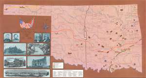
Prepared By Muriel H. Wright Oklahoma Historical Society and LeRoy H. Fischer Oklahoma State University for the Oklahoma Civil War Centennial Commission State of Oklahoma.
$300.00
Acquire
- Digital Map Information
- Suitable for large format printing
- File Size: 78.95 MB
- File Type: ZIP / TIFF
- ICC color profile embedded
- Delivered instantly via download link
This is a 1963 Muriel H. Wright and LeRoy H. Fischer pictorial map of Oklahoma commemorating events of the American Civil War in the Indian Territory. The map depicts the state from Cimarron County and Fort Nichols to Fort Smith, Arkansas and from the Kansas border to the Red River. Forty-nine sites around the state are identified by a small illustration and numbered, with the numbers corresponding to an index situated along the bottom border. Civil War battles from 1861 through 1864 are identified throughout the state, along with the date, and a pair of crossed swords mark the location. Several Civil War routes cross Oklahoma and are referenced here using solid differently colored lines. Rivers and counties throughout the state are also illustrated and labeled. Portraits of four Civil War officers are included to the left of the map. Major General James G. Blunt and Colonel William A. Phillips were Union Army officers while Brigadier General Douglas H. Cooper and Brigadier General Stand Watie fought for the Confederacy. Brigadier General Watie was the only Native American to attain a general's rank in the Confederal Army. Five views are included below the portraits and present the Armstrong Academy, Bird Creek, Fort Arbuckle, the ruins of Fort Gibson Hospital, and Fort Washita. (more details)