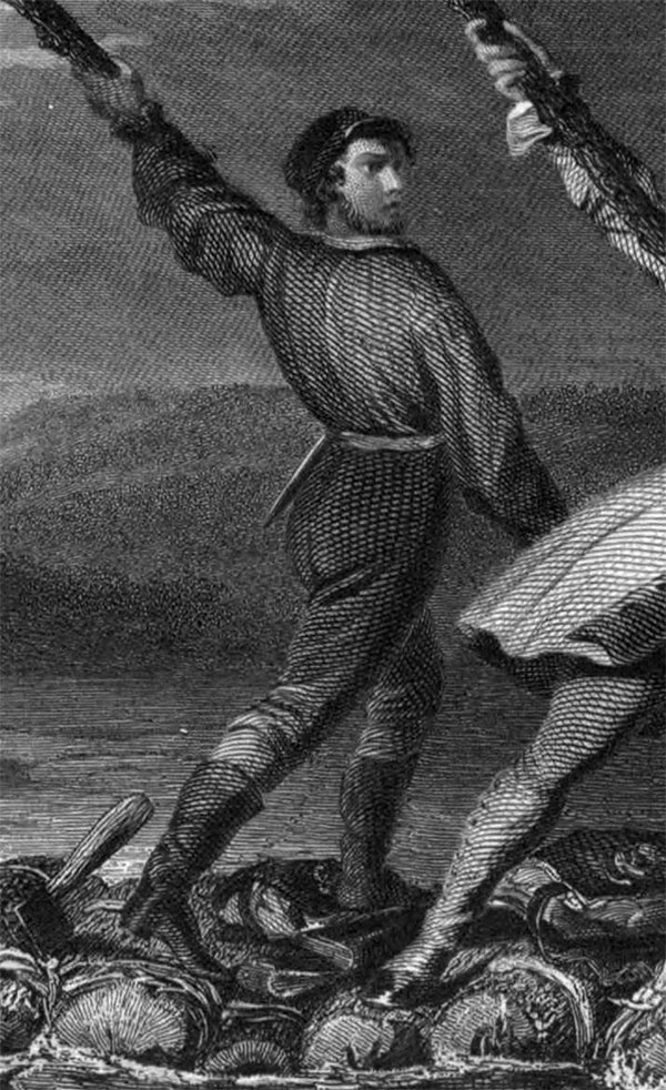
Christopher Gist (1706–1759) was an explorer, surveyor, and frontiersman in Colonial America. He was one of the first English explorers of the Ohio River valley, and provided the first detailed description of that country to colonists in the Thirteen Colonies. Little is known of his education as a surveyor, which was probably received from his father Richard Gist, who helped lay out the plan for the city of Baltimore. By 1750 Gist had settled in northern North Carolina near the Yadkin River; that year, he was hired by the Ohio Company to explore the Ohio Country as far as the present location of Louisville, Kentucky; he mapped Ohio betweeen the present day location of Pittsburgh to the Miami River. In 1753 he accompanied George Washington on his mission to convince the French to abandon Ohio; during their travels on this futile effort, Gist saved Washington's life twice - once from drowning in the frozen Allegheny River, and once from Indian attack.
In 1754 Gist accompanied Washington and the Virginia Regiment in their attempt to forcibly drive the French from Ohio, resulting in their defeat at the hands of the French at Fort Necessity. Gist was also part of the Braddock Expedition during its 1755 defeat by the French and their Native American allies. Gist died in 1759, either in Carolina or Georgia, of smallpox.
In 1754 Gist accompanied Washington and the Virginia Regiment in their attempt to forcibly drive the French from Ohio, resulting in their defeat at the hands of the French at Fort Necessity. Gist was also part of the Braddock Expedition during its 1755 defeat by the French and their Native American allies. Gist died in 1759, either in Carolina or Georgia, of smallpox.


