
Kropp, Emil C.
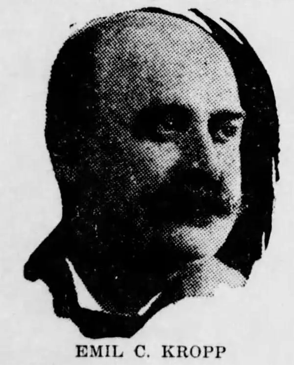
Emil C. Kropp (April 1, 1860 - December 24, 1907) was a Milwaukee based postcard and view publisher active in the late 19th and early 20th centuries. Kropp was born in Hamburg, Germany, and emigrated to the United States in 1871. Around 1897 or 1898 he visted the fatherland where he was inspired by the bourgeoning postcard business. On his return to Wisconsin, he began publishing postcards under the Kropp imprint, with his first postcards appearing in 1898. When Kropp died in 1907, the firm was taken over by his children, Adolph Kropp (1900 - 1918), Walter Kropp (1902 - 1913), and Herbert Louis Kropp (1903 - 1973), who incorporated as E. C. Kropp and Company. The firm produced millions of postcards and by 1956, was liquidated to L. L. Cook. The firm still operates as a subset of the GAF Corporation.
Cartoons promote Postwar Florida.
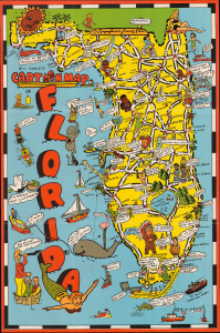
Bill Skacel's Cartoon Map of Florida.
$400.00
Acquire
- Digital Map Information
- Suitable for large format printing
- Full resolution TIFF file
- ICC color profile embedded
- Delivered instantly via download link
This is Bill Skacel's playful 1946 pictorial map of Florida. It captures Florida early in the Postwar Period, when the state experienced a dramatic population increase and extensive infrastructure development. (more details)
Promoting Indiana with cartoonish fun.
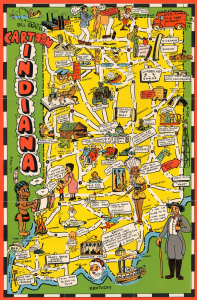
Bill Skacel's Cartoon Indiana.
$225.00
Acquire
- Digital Map Information
- Suitable for large format printing
- Full resolution TIFF file
- ICC color profile embedded
- Delivered instantly via download link
This is a c. 1946 Bill Skacel cartoon map of Indiana. The map combines cartoonish illustrations of landmarks, universities, and other important locations to help promote Indiana to travelers. (more details)