
Moore, John Hamilton
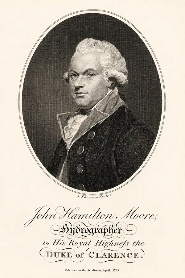
John Hamilton Moore (1738 - 1807) was a Scottish teacher of navigation, chartseller, and hydrographer active in London during the latter part of the 18th century. He is best known as a publisher of Blueback Nautical Charts and the founder of the firm that would one day become Imary and Son. Moore was born in Edinburgh and was educated in Ireland before joining the Royal Navy. After leaving the navy he set up a navigation academy in Brentford, Middlesex. Around 1772 he published the navigation textbook The New Practical Navigator and Daily Assistant. The work became the most popular such text of its day and ran into some 17 editions, firmly establishing Moore's credentials. Around 1781 Moore established himself at 127 Minories, near Tower Hill, London, where he taught navigation to a select audience as well as traded in navigational instrument and nautical charts. Moore began publishing his own charts. These were among the earliest blueback charts, called such for their distinctive blue paper backing. Moore took on draughtsman William Heather and John Noire, both future publishers of blueback nautical charts in their own right, to drawn and engraves his charts. Personally more was known to be boastful and somewhat controversial. He apparent once described himself as 'having a propensity for genius'. He was also accused of 'debauching a servant'. In the 1790s he started calling himself, 'Hydrographer and Chartmaker to his Royal Highness the Duke of Clarence'. It is unclear whether or not his claim was based on fact, but certainly Moore's many enemies in the chart publishing industry called him out on the matter, publishing a broadside declaring Moore a 'Pretender'. Either way, Moore dropped this claim by 1804. Moore was succeeded by a son, also John Hamilton Moore, and several daughters, one of whom married Robert Blachford, who became a prominent chart publisher in Moore's wake. Despite the seeming prosperity of his business, Moore seems to have died in relative poverty in Chingford, Essex. Nonetheless, his obituary in The Gentleman's Magazine, a sign in and of itself of Moore's social significance, offered him high praise, "he caused the best Charts to be published that had ever been done by any individual in this or any other nation."
Reasserting Baltic trade after the Russo-Swedish War.
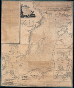
A New and Correct Chart of the Baltic from the Cattegat to Soderhamn and the entrance of the Gulf of Finland on a Mercator's Projection. Including the harbors of Riga, Carlshamn, Aus and Geffle, with Views of the principal Headlands taken from the best Swedish and Russian Surveys; and Improved by John Hamilton Moore Hydrographer and Chartseller to his Royal Highness the Duke of Clarence.
$750.00
Acquire
- Digital Map Information
- Suitable for large format printing
- DPI: 600
- File Size: 241.63 MB
- File Type: ZIP / TIFF
- ICC color profile embedded
- Delivered instantly via download link
This is a 1791 wall-sized John Hamilton Moore nautical chart or map of the Baltic Sea. This chart was issued in the wake of the Russo-Swedish War (1788-1790), which ended the year prior, during a period where regional tensions still ran high. It nonetheless benefits from the cartographic advances of that war and represents a period where regional trade was being reestablished. (more details)
Brie Cheese and Alsace-Lorraine Wine Region.
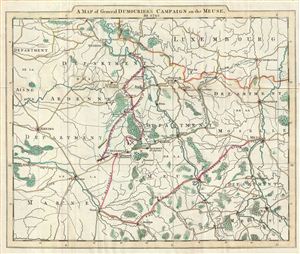
A Map of General Dumourier's Campaign on the Meuse in 1792.
$150.00
Acquire
- Digital Map Information
- Suitable for large format printing
- DPI: 300
- File Size: 4.82 MB
- File Type: ZIP / TIFF
- ICC color profile embedded
- Delivered instantly via download link
This is a scarce example of John Moore's 1797 map of the French department of Meuse. The map covers the department of Meuse along with the neighboring of Ardenne, Luxembourg, Moselle, Meurte and Marne. This area is part of the Lorraine or Alsace-Lorraine wine ... (more details)
Most important chronicle and map of early Singapore.
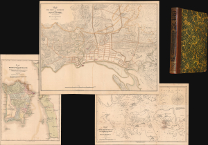
Notices of the Indian Archipelago, and adjacent countries; being a collection of papers relating to Borneo, Celebes, Bali, Java, Sumatra, Nias, the Philippine Islands, Sulu, Siam, Cochin China, Malayan Peninsula, etc.
$32,000.00
Acquire
- Digital Map Information
- Suitable for large format printing
- Full resolution TIFF file
- ICC color profile embedded
- Delivered instantly via download link
A rare example of John Henry Moor's 1837 Notices of the Indian Archipelago, containing within the most important early map of Singapore, as well as otherwise lost reprints of important articles from the Singapore Chronicle, and additional maps of Penang, Singapore Strait, the East Indian Archipelago, Malacca, and Borneo. Moor's work is considered one of the most significant records of early Singapore and one of the first books published in Singapore. (more details)