
American Photo-Lithographic Company
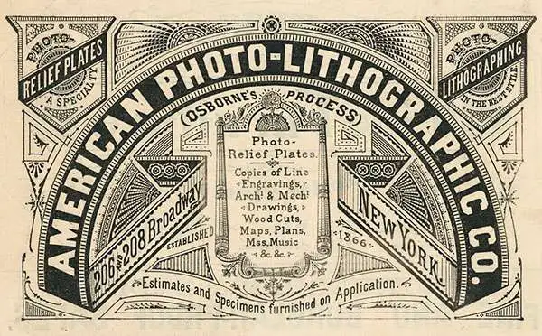
American Photo-Lithographic Company (1866 - c. 1884) was a Brooklyn, New York based lithography house active in the late 19th century. By the 1870s they had relocated to Fulton Street, in Manhattan. Early on, the firm was best known for its use of the Osborne Process, an economical photo-mechanical technique for making lithographic plates invented by Irish-Australian John Walter Osborne (1828 - 1902). Osborne may have been the owner or one of the co-founders of the American Photo-Lithographic Company, as he certainly had moved to New York City by this time to market his technique. He is known to have worked for the American Photo-Lithographic Company in both New York and Washington D.C - but the relationship remains unclear. Later the embraced other more advanced printing techniques. By 1877, the firm opened an annex office in Boston under Clement Drew, which it retained until 1879. We have identified no work by the American Photo-Lithographic Company postdating 1884. The firm should not be confused with the American Lithographic Company, which was founded by 1892.
Surveying the High Desert.
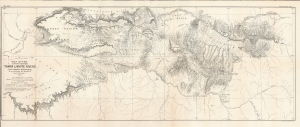
Map of the Country Between Yampa and White Rivers (For General Reference) to accompany the Report of Gust. R. Bechler.
$400.00
Acquire
- Digital Map Information
- Suitable for large format printing
- File Size: 27.41 MB
- File Type: ZIP / TIFF
- ICC color profile embedded
- Delivered instantly via download link
A large format 1876 map of a portion of northwestern Colorado and northeastern Utah, prepared to accompany a report by Gustavus Bechler that appeared in the Tenth Annual Report of the United States Geological and Geographical Survey of the Territories.... The northern portion of this map overlaps with today's Dinosaur National Monument. (more details)