
Balagny, Dominique Eugène Paul
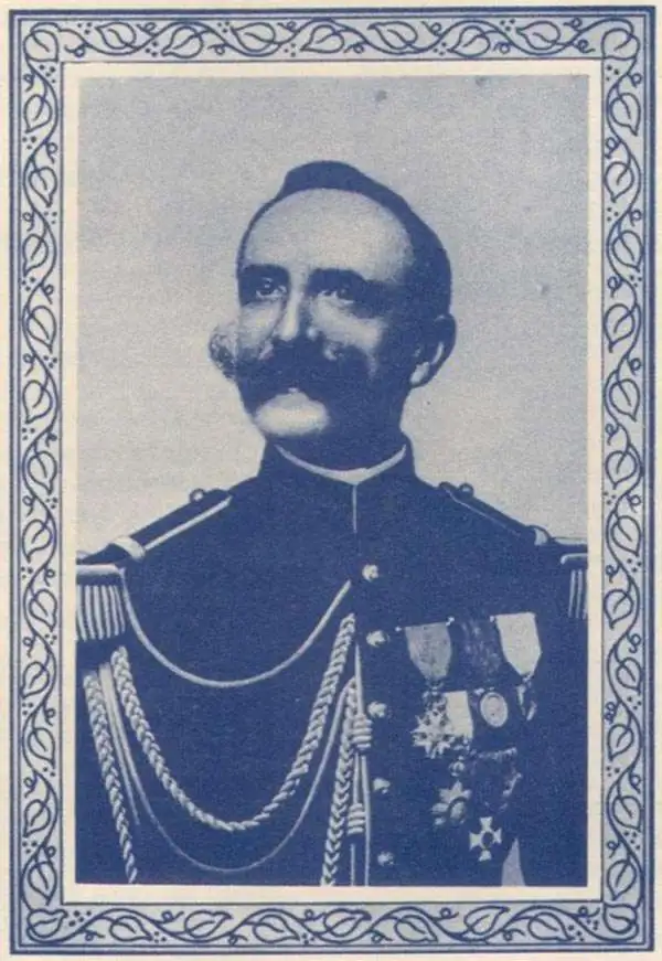
Dominique Eugène Paul Balagny (January 19, 1863 - October 21, 1948), or simply Paul, was a French military officer active in the late 19th and early 20th century. Balagny was born in Bordeaux graduated from the special military school at Saint-Cyr. He was first assigned as a Sub-Lieutenant to the 1er Infanterie Algérienne, then sent to French Indo-China (Vietnam) to serve with the 4e Infanterie du Tonkin. He saw action during the First Annam Insurrection (Cần Vương Movement, 1886). Afterwards, he was assigned to the Bureau Topographique des Troupes de l'Indo Chine. With the bureau he spent 3 years, from 1889 - 1891 surveying the Chinese-Vietnam (Chinese-Annamese) border. After this mission, Balagny crossed the Pacific on the 'City of Peking' with two army friends on a tour around the world, stopping in San Francisco in May of 1892. While there he seems to have spent some time drumming up investment for French mining interests in Tonkin, suggesting that the trip may have had an official component. Just before World War I, from December 31, 1913 - September 8, 1914, he commanded the 65e Régiment d'Infanterie. He was also president of the Société Archéologique, and member of the La Société des Sciences Naturelles de l'Ouest de la France. When he retired from the service, he held the rank of Commandant. Balangy died in Nantes.
Emerald wasters and limestone monoliths! and sea caves!
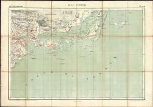
Hai Phong. / Carte de L'Indo-Chine.
$950.00
Acquire
- Digital Map Information
- Suitable for large format printing
- File Size: 35.93 MB
- File Type: ZIP / TIFF
- ICC color profile embedded
- Delivered instantly via download link
A rare 1895 map of the Hai Phong and Hạ Long Bay area in northern Vietnam, off the Gulf of Tonkin. The map was issued by the Bureau Topographique des Troupes de l'Indo-Chine and is sheet 10 of the Carte de L'Indo-Chine, an otherwise lost large-scale French military survey of the region. The area covered here, the northeastern coastal section of the Gulf of Tonkin, is considered one of the most beautiful places on Earth, flocked by both local and foreign tourists for its sparkling waters and majestic islands. The map is the work of surveys completed between 1899 and 1901 by French topographic officer Dominique Eugène Paul Balagny. (more details)
The path of invading armies - past limestone monoliths and stunning waterfalls.
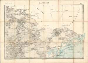
Lang Son. / Carte de L'Indo-Chine.
$950.00
Acquire
- Digital Map Information
- Suitable for large format printing
- File Size: 38.31 MB
- File Type: ZIP / TIFF
- ICC color profile embedded
- Delivered instantly via download link
A rare 1895 map of the Lạng Sơn region in northern Vietnam, off the Gulf of Tonkin and along the northern border with China. The map was issued by the Bureau Topographique des Troupes de l'Indo-Chine and is sheet 7 of the Carte de L'Indo-Chine, an otherwise lost large-scale French military survey of the region. The area covered here, the northeastern coastal section of the Gulf of Tonkin and the mountainous region as far as the city of Lạng Sơn, is considered one of the most beautiful places on Earth. The map is the work of surveys completed between 1886 and 1887 by French topographic officer Dominique Eugène Paul Balagny, and in 1886 along the Chinese border by a mysterious 'Lieutenant Privè.' (more details)
The Mekong Delta - one of the Earth's most ecologically diverse areas.
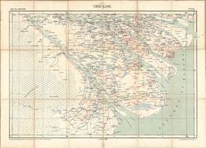
Vinh-Long. / Carte de L'Indo-Chine.
$950.00
Acquire
- Digital Map Information
- Suitable for large format printing
- File Size: 34.17 MB
- File Type: ZIP / TIFF
- ICC color profile embedded
- Delivered instantly via download link
A rare 1895 map of the Vinh-Long region of southern Vietnam, in the sprawling Mekong Delta. The map was issued by the Bureau Topographique des Troupes de l'Indo-Chine and is sheet 43 of the Carte de L'Indo-Chine, an otherwise lost large-scale French military survey of the region. The area covered here, the Mekong Delta and inland as far as the city of Vinh-Long, is considered one of the most beautiful places on Earth. The map is the work of surveys completed between 1886 and 1887 by French topographic officer Dominique Eugène Paul Balagny. (more details)