
Beautemps-Beaupré, Charles-François
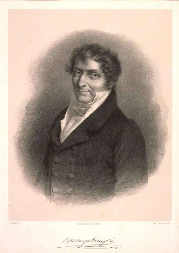
Charles-François Beautemps-Beaupré (August 6, 1766 - March 16, 1854) was a French hydrographic engineer and cartographer and was also a member of the Academy of Sciences. He is considered the father of modern hydrography. Beautemps-Beaupré began his career as a hydrographer in 1783 as a student of his uncle Jean-Nicolas Buache, who was the director of the dépôt de la Marine at the time. He became an engineer in 1785 and created his first maps that year. He was a member of the crew of La Recherche, which left France in 1791 under the command of Antoine Reymond Joseph de Bruni d'Entrecasteaux in search of the French explorer La Pérouse, who had disappeared in 1788. The expedition with La Recherche lasted until 1796, and Beautemps-Beaupré took advantage of these years to develop new foundations for hydrography, developing it into a true science and adopting methods that would soon be adopted by all mariners. When L'Appendice au voyage de D'Entrecasteaux was published in 1808, it contained all Beautemps-Beaupré's work from the voyage and it 'revolutionized hydrographic methods'. Beautemps-Beaupré was made sub curator of the dépôt des cartes et plans de la marine in 1799 and was put in charge of all major hydrographic work during the Empire and the Bourbon Restoration, making him among the few government officials to serve during both periods. He was elected to the Academy of Sciences in 1810. He was mad director of the dépôt des cartes et plans de la marine in 1814 and held the position until 1838. Over the course of his career, Beautemps-Beaupré created at least 613 distinct works, including over 150 maps and plans and 279 views.
Earliest lithograph map of New Caledonia and the Loyalty Islands.
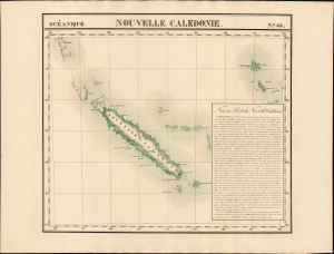
Nouvelle Caledonie. Océanique no. 46.
$500.00
Acquire
- Digital Map Information
- Suitable for large format printing
- Full resolution TIFF file
- ICC color profile embedded
- Delivered instantly via download link
This is the 1827 Vandermaelen map of New Caledonia, the Loyalty Islands, Erromango, and Tanna. It is the first lithographic map of these islands, and one of the first overall to focus so narrowly on them. It is accompanied by an extensive French text describing Cook's discovery of New Caledonia, the island's mountainous topography, and (with an almost palpable shiver) the cannibalistic propensities of its inhabitants. (more details)
The bay and fortifications of Saint Martin.
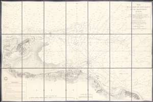
Plan de la Rade de Saint Martin et de ses Environs. (Ile de Ré).
$650.00
Acquire
- Digital Map Information
- Suitable for large format printing
- File Size: 38.53 MB
- File Type: ZIP / TIFF
- ICC color profile embedded
- Delivered instantly via download link
This is an 1867 French Dépôt de la Marine nautical chart or maritime map of Saint Martin Bay, Ile de Ré, France. Depicting the north shore of the Ile de Ré from Loix to La Flotte, hundreds of depth soundings populate the bay. Saint Martin appears at bottom center, with the city's fortifications illustrated in detail. (more details)