
Berger, Friedrich Gottlieb
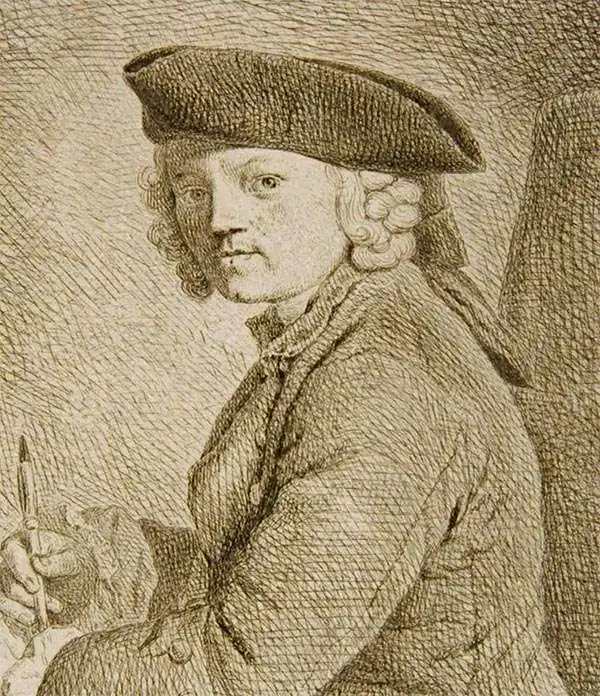
Friedrich Gottlieb Berger (1713 - c. 1797), was a German engraver active in Berlin in the middle part of the 18th century. Little is known of his career, but his work in cartography seems limited to a few maps by Johann Chrisoph Rhode and the Prussian Royal Academy of Sciences. His non-cartographic corpus consists of numerous general engravings and bookplates. Berger was survived by his son, Gottfried Daniel Berger (October 25, 1744 - November 17, 1825), also an engraver.
Best neutral-perspective map of the French and Indian War.
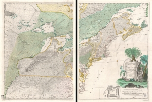
Theatrum belli in America Septentrionali. II. foliis comprehensum jussu Acad. Reg. Scient. et Eleg. Litt. exhibet I. C. Rhode Ac: Geogr. Berger, sculpsit berol.
$14,000.00
Acquire
- Digital Map Information
- Suitable for large format printing
- Full resolution TIFF file
- ICC color profile embedded
- Delivered instantly via download link
An important separately issued c. 1761 Johann Christoph Rhode map of eastern North America published in Berlin is considered the most important neutral perspective map of the French and Indian War (1754 - 1763). Rhode's map is little known and often overlooked by collectors, surprising as it is unquestionably the most exceptional map of the Theater of the French and Indian War published in any country other than the belligerent nations. (more details)