
Bouchette, Joseph
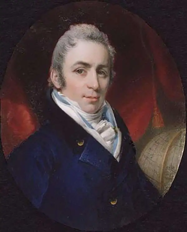
Joseph Bouchette (May 14, 1774 - April 8, 1841) was a British Canadian military officer and cartographer. Bouchette was born in Quebec City, the son of Jean-Baptiste Bouchette, a military topographer and naval officer, and Marie Angelique Duhamel, daughter of Julien Duhamel (1723 - 1778). During the American Revolutionary War (1775 - 1783), Joseph's father famously saved the life of General Guy Carleton (1724 - 1808), Commander-in-Chief of the British Forces in North America, navigating him and his family along the Saint Lawrence River from Montreal, through the American lines, to Quebec. This accomplishment has significant ramifications for both the war, reversing the outcome of the 1775 Battle of Quebec, and the Bouchette family, earning Bouchette a grant of 6,000 acres and a significant military promotion. Joseph, now practically a nobleman, followed his father as a topographer and naval officer. He initially studied art and architecture under François Baillairgé (1759 - 1830), but in 1790, after a short and distinguished naval career, Bouchette entered the service of his (now elderly) uncle Samuel Holland (1728 - 1801), the first Surveyor-General of British North America. He moved to Quebec to work at the Surveyor General's offices and found the offices in disarray. Bouchette took on the task of reorganizing the offices, earning him the official position of Surveyor-General after Holland's death. With Charles Burton Wyatt, Bouchette resurveyed Lower Canada from 1805 to 1807. This work was compiled and published in 1815 as the Topographical Description of the Province of Lower Canada, which was the sum of all contemporaneous knowledge of the territory. He held the position of Surveyor General until 1826 when he retired, and the position was taken up by his son, Joseph-Francis Bouchette (1800 - 1881). After he died in 1841, he was entombed in Montreal's Notre Dame des Neiges Cemetery.
Largest and Best Map of Lower Canada after the War of 1812.
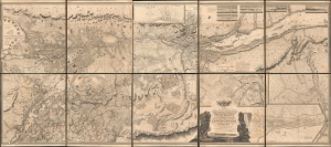
To His Royal Highness George Augustus Frederick, Prince of Wales, Duke of Cornwall ... and Prince Regent of the United Kingdom of Great Britain and Ireland; this Topographical map of the Province of Lower Canada, shewing its division into Districts, Counties, Seigniories, and Townships with all the Lands reserved both for the Crown and the Clergy ... Is with his Royal Hyghnes's Special Permission, Most gratefully dedicated by a Faithful and Zealous Canadian Subject, and His Royal Highnes's Most Obedient and Devoted Servant, Joseph Bouchette, His Majesty's Surveyor General of the Province and Lieutt. Colonel C.M.
$25,000.00
Acquire
- Digital Map Information
- Suitable for large format printing
- File Size: 317.57 MB
- File Type: ZIP / TIFF
- ICC color profile embedded
- Delivered instantly via download link
This is Joseph Bouchette's monumental 10-sheet map of Lower Canada. Appearing at the end of the War of 1812, this is the largest, best, and most influential map of Canada issued in the 19th century. David Rumsey correctly praises it, saying that the 'graphic elegance of the large map is the equal (or perhaps the superior) of any of the contemporary maps that I have seen'. In its pre-publication manuscript form, it played a significant role in the Treaty of Ghent, which ended the War of 1812 and began the establishment of formal U.S.-Canada borders. Due to its extreme rarity, the significance of this map is often overlooked, and it is poorly represented in scholarly literature. (more details)