
Burland, George Bull
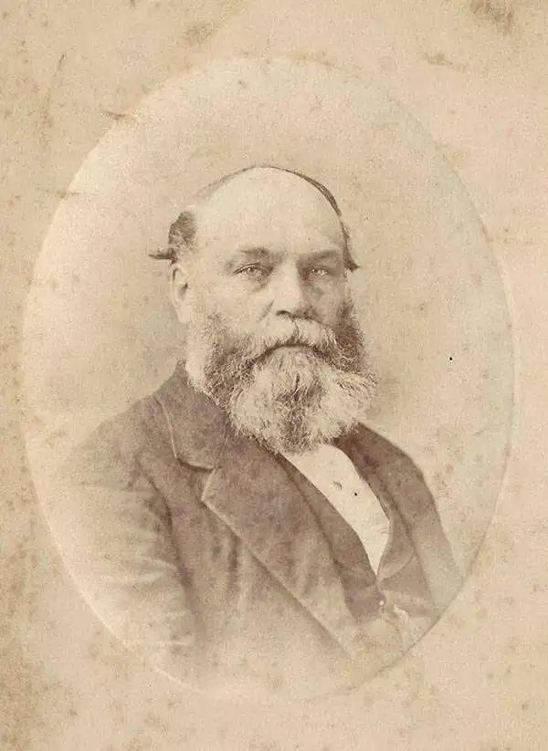
George Bull Burland (1829 - 1907) was an Irish-Canadian printer and publisher. Born in Ireland, Burland and his family immigrated to Canada in the 1840s. He found a job with the Hamilton Gazette, a newspaper owned and edited by his uncle, in 1844. Around 1848 Burland moved to Montreal and began working with George H. Matthews, an engraver and printer. Burland bought Matthews's business in 1864, along with his partners George Lafricain, Nathaniel Barber, and George Bishop, and formed Burland-Lafricain and Company in Montreal. Specialists in lithography, within a few years Burland-Lafricain bought out their closest competitor which was owned by Williasm Cumming Smillie. This company became the British American Bank Note Company, which printed banknotes, postage stamps, and other related materials. Burland began serving as vice president in 1866, and held the position of President from 1881 until his death. Burland founded his own printing company, Burland Lithographic, in the 1870s. At first, he formed a partnership with Goerges-Édouard Desbarats, and then he operated the business on his own. Burland Lithographic printed books, maps, and periodicals, including the Canadian Illustrated News. Burland was alsp a philanthropist with great interest in public health. He married Clarissa Healy Cochrane in 1857.
Determining the Source of the Congo.
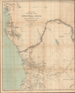
Map showing the Western Half of Equatorial Africa and the Explorations by Land and Water of Henry M. Stanley in the years 1874 - 1877.
$950.00
Acquire
- Digital Map Information
- Suitable for large format printing
- File Size: 26.27 MB
- File Type: ZIP / TIFF
- ICC color profile embedded
- Delivered instantly via download link
This is Henry Morton Stanley's 1878 map of western central Africa, prepared for the first Canadian edition of his book Through the Dark Continent. It traces the route of Stanley's First Trans-Africa Expedition. (more details)
Foundation of Canadian coast-to-coast sovereignty!
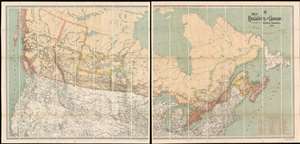
Map Shewing the Railways of Canada to Accompany Annual Report on Railway Statistics.
$7,500.00
Acquire
- Digital Map Information
- Suitable for large format printing
- Full resolution TIFF file
- ICC color profile embedded
- Delivered instantly via download link
The is the first official map of the Canadian Pacific Railroad issued after the railroad's completion in 1885. This map is of critical importance to the development of the Canadian Confederation, as well as the first complete map of the second North American intercontinental railroad. This enormous map was issued in 1886 by A. M. Edwards and Canadian Government Railways. Depicting the entire country in two sections, the map identifies ninety-three different railways throughout Canada - but the focus is the impressive Canadian Pacific Route, which stretches from Montreal to British Columbia. Maritime routes between North America and Europe and Asia, which connected to the Railroad and were part of the Canadian Pacific's marketing model, are also noted. (more details)