
Gamble, William Henry
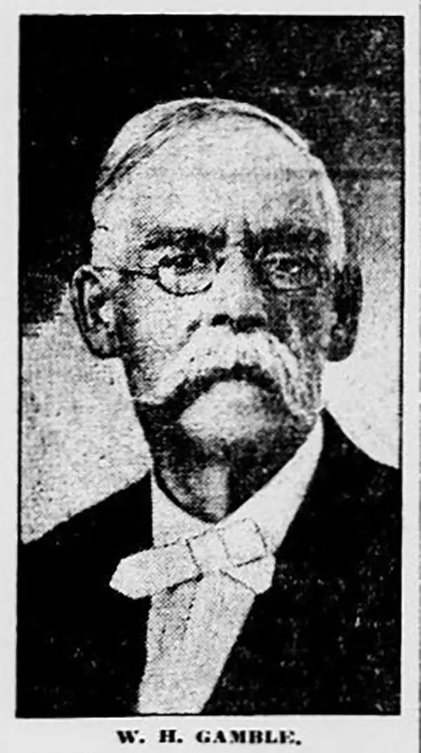
William Henry Gamble (November 4, 1835/6 - September 16, 1921) was a topographical engineer, map engraver, and publisher active in Philadelphia during the second half of the 19th century and in Washington D.C. during the early 20th century. Gamble was born in Philadelphia. It is unclear where he received his training as an engraver, but most of his work is associated with the firm of William Augustus Mitchell Jr. In 1895, he relocated to Washington D. C. to engrave for the U.S. Geological Survey and remained active with that institution until his death, at 85. His obituary claims that, at the time, he was the oldest active government employee. In the 1860s his offices were at 29 South 6th Street, and by the 1870s, at 814 N. 12th Street. He maintained this address until relocating to Washington D. C. to take work with the Geological Survey. In Washington D.C. he lived at 1329 Gallatin Street.
One of the few specific maps to illustrate Wyoming as part of Idaho Territory.
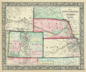
Map of Kansas, Nebraska and Colorado, Showing also the Eastern Portion of Idaho.
$350.00
Acquire
- Digital Map Information
- Suitable for large format printing
- File Size: 10.79 MB
- File Type: ZIP / TIFF
- ICC color profile embedded
- Delivered instantly via download link
A very ephemeral and surprisingly scarce 1863 Samuel Augustus Mitchell, Jr. map of Colorado, Nebraska, Kansas, and that part of Idaho Territory which is today Wyoming. The map depicts the region from the Utah-Colorado border to Iowa and Missouri and from the Big Horn Mountains to northern Texas and Santa Fe, New Mexico. This map holds the distinction of being one of the few to include Wyoming as Idaho Territory, which was formed in March 1863. The iteration of Wyoming/Idaho as seen here is exceptionally ephemeral and present only in this edition (1863), with subsequent editions (1864 - 1868) attaching Wyoming to Dakota (See below). Apart from this rare iteration of Idaho Territory / Wyoming, other intriguing aspects of this map include the fact that only about one half of Nebraska and the eastern third of Kansas are illustrated as having been divided into counties, while Colorado only has fifteen counties that vary wildly in relative size. Myriad towns and villages are labeled, along with the Pony Express route and proposed routes for the transcontinental railroad. (more details)