
Harper, Frank Robert
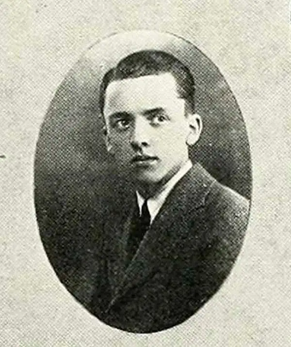
Frank Robert Harper (August 19, 1908 - December 31, 1995) was a fine and commercial artist active in Michigan in the middle part of the 20th century. Harper was born in Grand Rapids, Michigan. Early records put him in Ann Arbor, where in from at least 1835 to 1937 he was a staff artist with the Upper Peninsula Development Bureau. He issued several pictorial maps of the Upper Peninsula for the Bureau. By 1940, he was working as a commercial artist in Grand Rapids. We have not been able to trace his activity past 1940, but it may have relocated to Washington State.
Summer in the Upper Peninsula!
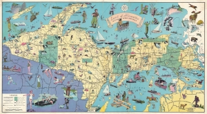
Land of Hiawatha Michigan's Upper Peninsula.
$950.00
Acquire
- Digital Map Information
- Suitable for large format printing
- File Size: 85.49 MB
- File Type: ZIP / TIFF
- ICC color profile embedded
- Delivered instantly via download link
A rare and charming 1935 Frank Robert Harper pictorial map of the Upper Peninsula, Michigan. Coverage embraces the entire upper peninsula with adjacent parts of Wisconsin, Lower Peninsula Michigan, and Canada. Drawn in the style of pictorial mapmaker Ruth Taylor White, the map is rich with decorative vignettes illustrating the sporting and outdoor life available in the Upper Peninsula. The map was issued for the Upper Peninsula Development Bureau to promote tourism. (more details)