
Heald, Daniel Addison
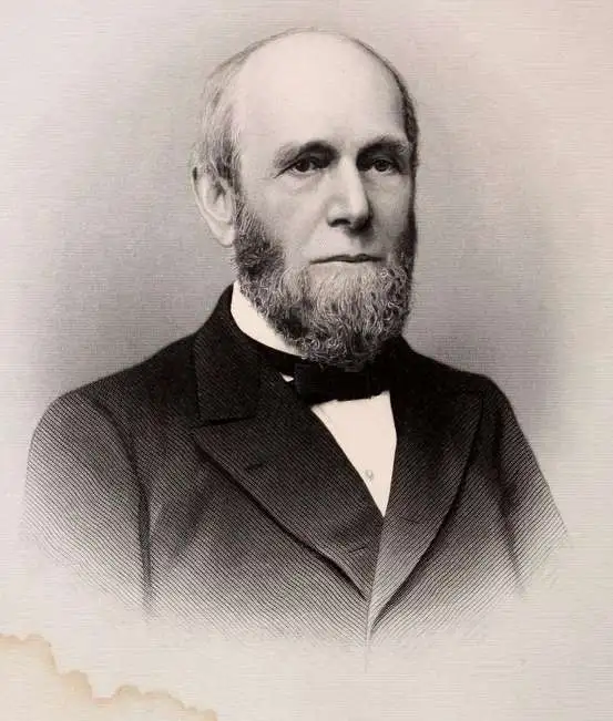
Daniel Addison Heald (May 4, 1818 - December 28,1900) was an American insurance agent and adjuster active in the second half of the 19th century. Heald was born in Chester, Vermont. He studied at the Kimball Union Academy, becoming a Vermont lawyer in 1843. From 1846 to 1854, he worked as a cashier at the Proctorsville Bank. He ran for the Vermont House of Representatives and was elected in 1850. In 1854 he was elected to the Vermont Senate. During this entire time, he was also the Vermont agent for the Home Insurance Company. He was offered the position of general manager in 1856, which he accepted and relocated to New York. By 1888, he became president of the, by then, extremely large and profitable insurance concern. He was the chief organizer of the National Board of Underwriters. He died of a heart attack at just 41. He was survived by his wife, Sarah e. Washburn, two daughters, and a son, John Oxenbridge Heald.
America's first great insurance company.
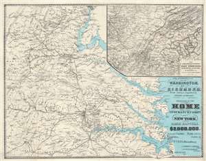
The Approaches from Washington, to Richmond.
$1,250.00
Acquire
- Digital Map Information
- Suitable for large format printing
- File Size: 40.84 MB
- File Type: ZIP / TIFF
- ICC color profile embedded
- Delivered instantly via download link
A scarce 1864 Daniel A. Heald map of the Washington D.C. / Richmond, Virginia area during the American Civil War. The strategically and politically critical corridor between Washington D. C. and Richmond, Virginia was one of the most hotly contested theaters of the American Civil War (1861 - 1865). When this map was issued, in 1864, the war had already turned strongly in favor of the Union. Late 1864 and early 1865 witnessed a succession of battles as Union forces pursued Confederate armies as they retreated toward their capital, Richmond. Battle sites are marked by crossed cavalry swords. The main map relates to the 1862 Peninsular Campaign. While the submap follows military operations in Eastern Tennessee, Northern Alabama, and Georgia - representing the final days of the Confederacy. (more details)