
Kellett, Henry
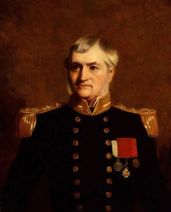
Henry Kellett (November 2, 1806 - March 1, 1875) was a Irish / British naval officer and hydrographer active in the mid-19th century. Kellett was born in Tipperary County, Ireland. He joined the Royal Navy in 1822. He afterwards spent three years in the West Indies. He was transferred to survey duty in Africa under William Fitzwilliam Owen (1774 - 1867). Just before the First Opium War (1839 - 1842) he was reassigned to China as the second-in-command of HMS Sulphur under Edward Belcher (1799 - 1877), famous for producing the first survey of Hong Kong Island. During the Opium War he was assigned his own ship, the HMS Starling and promoted first to commander (1841), then to post-captain (1842). In 1845 Kellett was appointed captain of the survey ship HMS Herald tasked to map the Americas from Guayaquil to Vancouver, including the Galápagos. In 1848, he joined the search for Sir John Franklin (1786 - 1847). During this voyage he sailed through the Bering Strait across the Chukchi Sea and discovered Herald Island. Later, Kellett became Senior Officer in the West Indies in 1855 and superintended Jamaica Dockyard. He served as Admiral Superintendent of the Malta Dockyard in 1864 and Commander-in-Chief, China Station in 1869. He retired in 1871 at the rank of Vice Admiral.
Two significant rarities - Saigon and Shanghai - back to back.
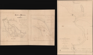
Carte de la Rivière de Saigon (Cochinchine). / Plan du Band de Corail (rivière de Saigon). / Plan de al Rivière de Woosung Levé en 1842 Par les Capitaines H. Kellet and R. Collinson, de la Marine Anglaise.
$7,500.00
Acquire
- Digital Map Information
- Suitable for large format printing
- Full resolution TIFF file
- ICC color profile embedded
- Delivered instantly via download link
This is a remarkable set of back-to-back maps - both are significant in different ways. The most interesting is a finely-executed c. 1860 manuscript chart detailing river approaches to Saigon (Ho Chi Min City). On the verso (or recto, depending) is an 1850 printed nautical chart of the approaches to Shanghai based on the cartography of the First Opium War (1839 - 1842). Both maps are significant, with the manuscript taking primacy as, in all likelihood, it is the first modern hydrographic survey of the Song Sai Gon Estuary. (more details)