Most recently added antique and rare maps as of 8/25/2025.
Celebrating Spanish and Mexican ranchos in Ventura County.
$450.00
'Japanese Eye View' of the Pacific War.
$400.00
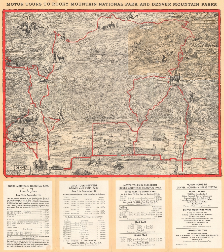
Tour the Rocky Mountains from Denver.
$275.00
Visit St. Petersburg!
$175.00
First published nautical chart of Bermuda.
$25,000.00
First scientific hydrographic survey of Bermuda.
$25,000.00
First printed English Nautical Chart of New England.
$18,000.00
United Colonies: First printed map devoted to the 13 states.
$5,000.00
L.A.'s Transportation Future - designed by Civil Engineering Luminaries.
$2,500.00
From lost Russian sources.
$2,000.00
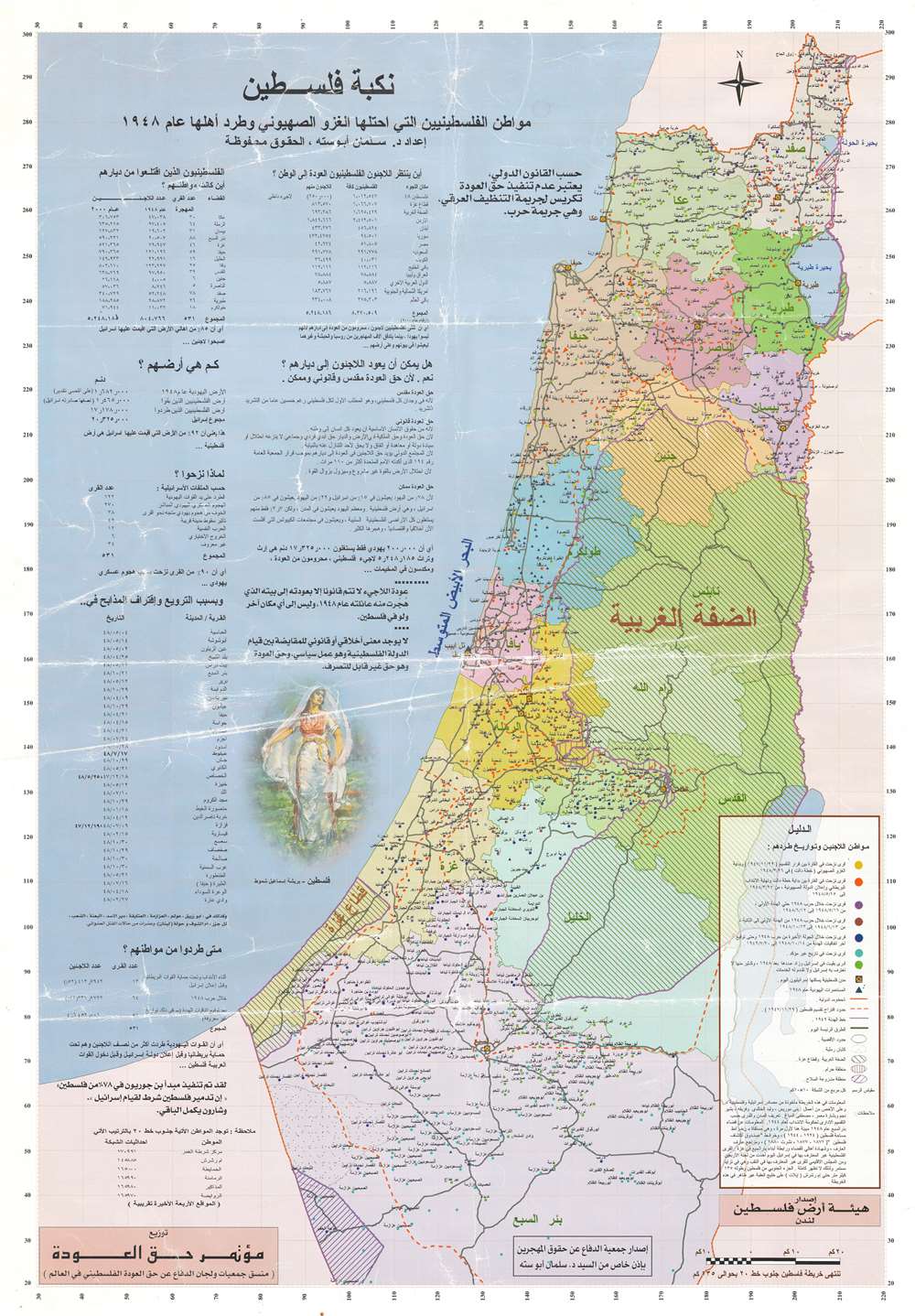
The Nakba. A rare cartographic look at the Palestinian perspective of the Arab-Israeli Conflict.
$1,800.00
Mainstay of the Chicano Movement.
$1,600.00
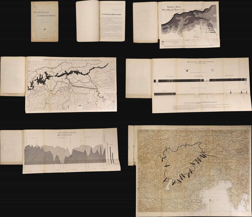
Advocates for Italy's Post-WWI Border at Brenner Pass.
$1,250.00
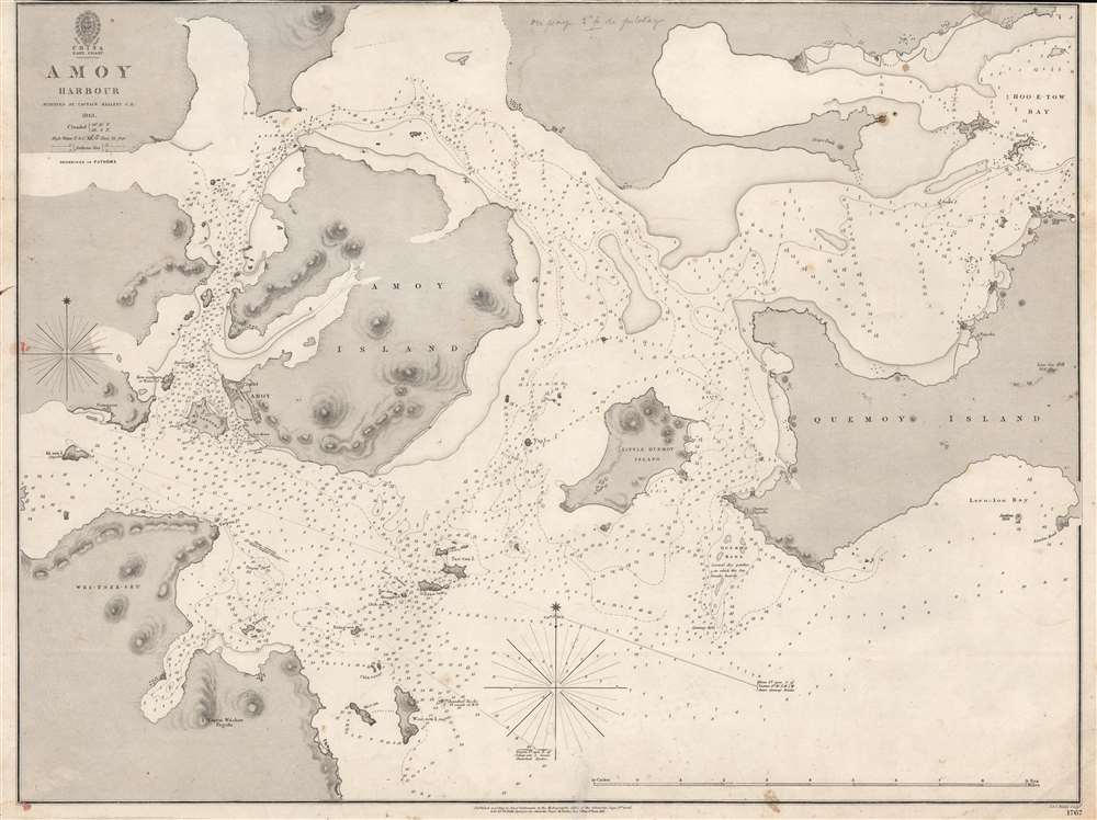
New treaty port mapped.
$950.00
First accurate triangulation of the Faroes.
$950.00
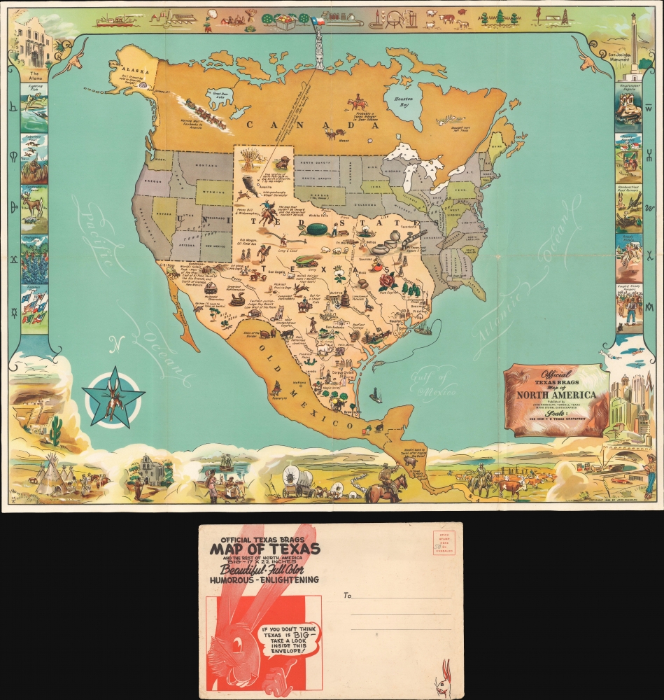
The North Pole in Texas?
$800.00


