Most recently added antique and rare maps as of 7/1/2025.
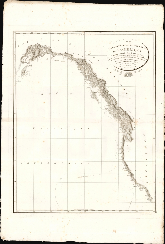
1799 Vancouver Map of the West Coast of North America - California, Vancouver, Alaska
First printed charting of the Columbia river and Puget Sound.
$1,500.00

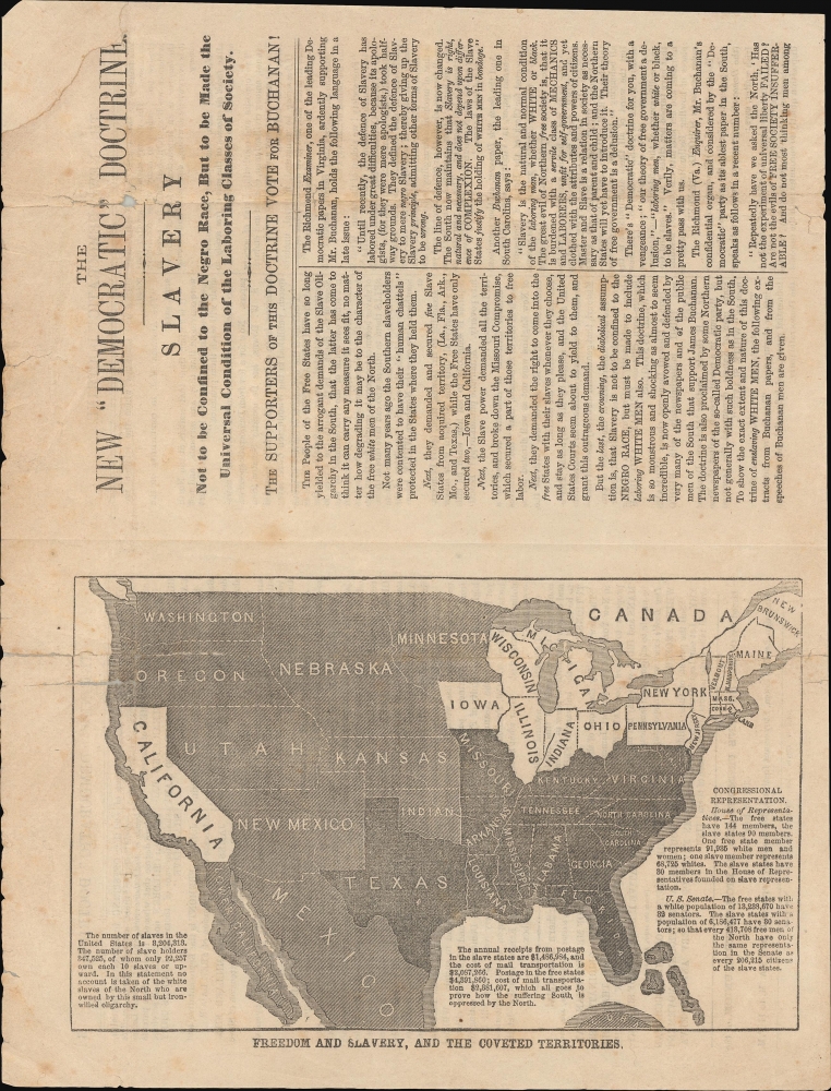
1856 Anti-Slavery Map of the United States and the Potential Spread of Slavery
Against the western expansion of slavery.
$1,200.00

1842 Greenleaf Map of Oregon Territory and British Columbia
Bold American claims on the Oregon Question.
$950.00

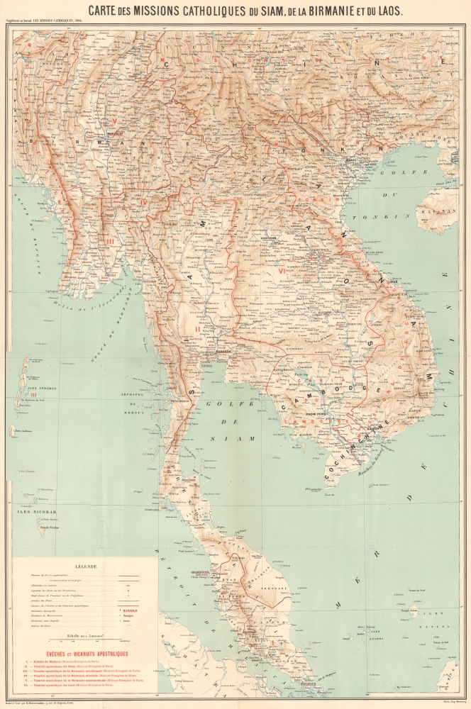
1904 Hausermann Map of Catholic Missions in Mainland Southeast Asia
Spreading the Faith in Southeast Asia.
$650.00

1795 Harris / Carey Map of Rhode Island
First specific map of Rhode Island published in the United States.
$500.00

1550 Sebastian Münster View of Riga, Latvia
Earliest Printed Image of Riga.
$500.00

1573 Ortelius Maps of the Tyrolean Alps and of Istria
16th Century Italian Frontier.
$450.00

1846 Bradford Map of Iowa and Wisconsin
The year of Iowa's Statehood.
$450.00

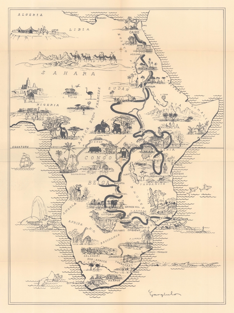
1940 Gargiulo Pictorial Map of Africa
Italian Fascists' African Foray.
$400.00

1846 Bradford Map of Maryland
Early railroad infrastructure.
$400.00

1846 Mitchell Map of Washington D.C. w/Georgetown
Emerging national capital.
$350.00

1846 Bradford Map of New Hampshire
New Hampshire's first railroads.
$350.00

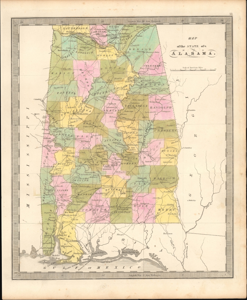
1842 Greenleaf Map of Alabama
Pre-Civil War - Post Trail of Tears.
$350.00

1842 Greenleaf Map of Australia and New Zealand
Just before the Gold Rush.
$350.00

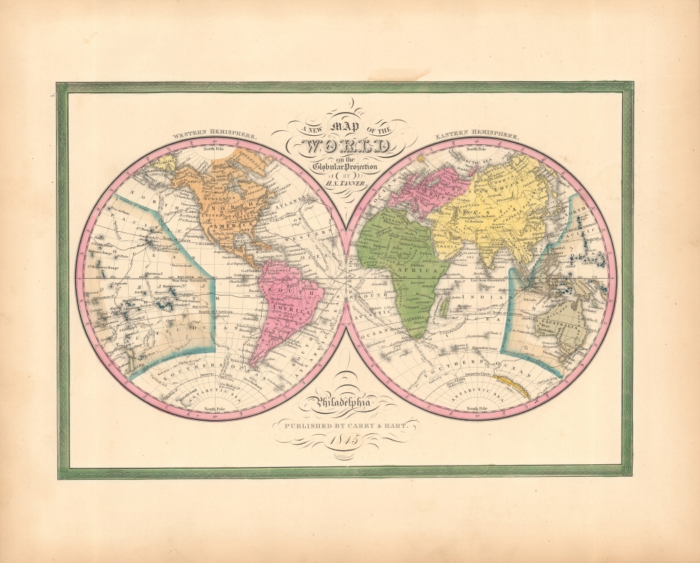
1846 Mitchell Map of the World in Hemispheres
World - from the American Perspective.
$300.00

1846 Bradford Map of Tennessee
Proposed early Tennessee Railroads.
$300.00

1842 Greenleaf Map of Maine
Maine Northern Boundary Dispute.
$300.00