
Rey, Alban-Emmanuel Guillaume
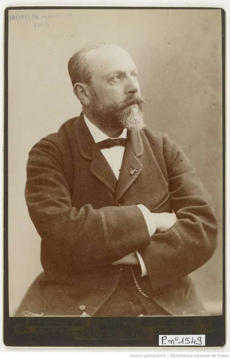
Alban-Emmanuel Guillaume Rey (May 28, 1837 - April 4, 1916) was a French baron, archaeologist, topographer, and Orientalist recognized as a foundational figure in the archaeology of the Crusades. He is particularly noted for his scholarly contributions on medieval fortifications and the French colonial presence in Syria during the twelfth and thirteenth centuries. Rey was born in Chaumont, Haute-Marne, France. In 1856, he was invited by one of his teachers to attend a trip organized by Œuvre des Écoles d'Orient (now known as Œuvre d'Orient) where he began a lifelong study of Arabic. After the trip's completion, he helped complete a French-Arabic dictionary compiled by the Œuvre, an organization he would remain involved with for the rest of his life (sitting on its Board of Directors for nearly 60 years). He also became involved with several archaeological and scholarly societies at this time, including the Société savante des antiquaires de France. In 1857-1858, at the age of twenty, Rey undertook his first journey to Syria, focusing on the Hauran region. He would return several times, most notably in August 1859, when he traveled alongside photographer Louis de Clercq, who had been commissioned by the French Ministry of Education to document the expedition. During this mission, Rey produced a significant large-scale map of central Palestine (our map), reflecting his early commitment to rigorous archaeological and topographic research in the Near East. Rey became known as a pioneer and special authority on the archaeology of the Crusaders and Crusader states in the Levant, work for which he was knighted by the Pope. Rey also was admitted to the French Légion d'honneur. He served as an officer in the Franco-Prussian War, but after the war returned to his researches, keeping up a steady output of publications into the early 20th century.
Scientific and Biblical Geography Meet.
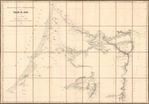
Reconaissance topographique de la Tribu de Juda.
$4,000.00
Acquire
- Digital Map Information
- Suitable for large format printing
- File Size: 76.98 MB
- File Type: ZIP / TIFF
- ICC color profile embedded
- Delivered instantly via download link
This is Alban-Emmanuel Guillaume Rey's c. 1859 large-format folding map of the Holy Land, and more specifically, the lands of the Tribe of Judah, one of the ancient Twelve Tribes of Israel. Rey's expedition to Palestine, which resulted in this map, was an early example of Biblical geography, combining modern surveying techniques with the scholarly study of religion, archaeology, linguistics, and other emerging disciplines. (more details)