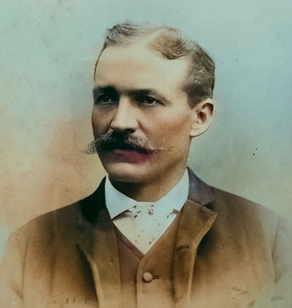
Paul Friedrich Riecker (March 2, 1851 - January 31, 1936) was a German-American explorer, surveyor, civil engineer, and mining engineer. Riecker was born in Baden-Württemberg, Germany. He studied civil engineering at the Hochschule für Technik Stuttgart. He immigrated to the United States between 1870 and 1872 for unclear reasons. He promptly enlisted in the U.S. Army, serving from 1873 to 1880. He led an early exploration party across the Colorado Plateau and was among the first to make contact with the Havasupai at the Grand Canyon. With his civil engineering training, he operated as a draughtsman for the Army in San Francisco until 1876. In 1877, he was reassigned to Fort Whipple, Yavapai, Arizona. Riecker retired from military service in 1880, taking a position in Tucson as a draftsman with the Surveyor' General's Office. In this capacity, along with Emil A. Eckhoff (1850 - 19??), he compiled the first official map of Arizona, published in 1880. Riecker went on to map Pasadena, California, in 1896. He also laid the street plans for both Inglewood and Redondo Beach, California. He was also involved in the Panama-Nicaragua Canal controversy as one of the original surveyors of the Nicaragua Canal route. In his later years, he moved to Oroville, California.