
Shane, Ralph M.
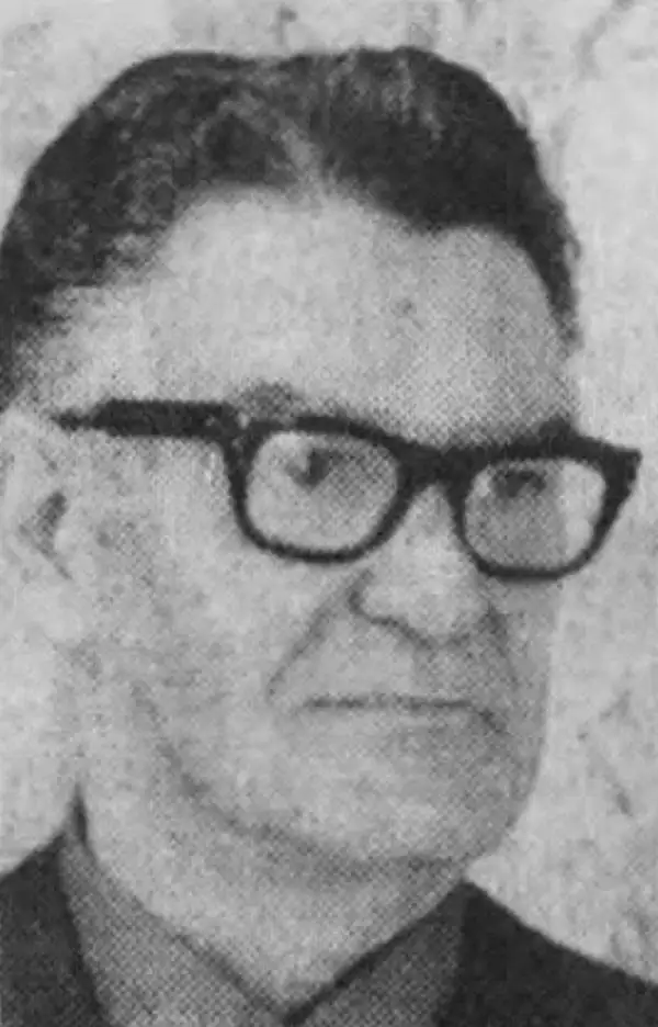
Ralph M. Shane (1910 - July 12, 1984) was an artist and U.S. government engineer. Born near Edelstein, Illinois, Shane's parents moved the family to Pipestone, Minnesota, where he attended public school. After high school, Shane attended the University of Colorado before transferring to the South Dakota School of Mines, where he graduated in 1935 with a B.S. in engineering. He found work with the South Dakota State Highway Commission and drafted strip and right-of-way maps. In November 1936, Shane joined the Bureau of Indian Affairs as an engineering draftsman. He was promoted to junior road engineer the following year. The Bureau transferred him to Sacramento, California, in January 1939 to work as chief of a road survey party. Shane worked as a road engineer for the Bureau of Indian Affairs across the western United States through the 1940s and 1950s, except for a four-month furlough in 1943 when he served as a Navy ensign. He left the Bureau of Indian Affairs in 1955 and bought a newspaper in New Town, North Dakota, which he edited for two years before returning to the Bureau of Indian Affairs. He retired from the Bureau in 1979. Shane was married twice. First to Jeanette Wildman, whom he married in 1936, then to Carolyn Mae Hodgkinson, whom he married on July 14, 1944. He had four children.
A rare map chronicling the history of an Indian Reservation in Oregon.
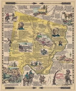
Historical Map Warm Springs Indian Reservation.
$200.00
Acquire
- Digital Map Information
- Suitable for large format printing
- File Size: 21.14 MB
- File Type: ZIP / TIFF
- ICC color profile embedded
- Delivered instantly via download link
This is the 1949 first edition of Ralph M. Shane pictorial map of the Warm Springs Indian Reservation, Oregon. Shane, who worked for the Bureau of Indian Affairs, delivers a detailed graphic history of the reservation and region. (more details)
Warm Springs Indian Reservation, by an American Indian Resident.
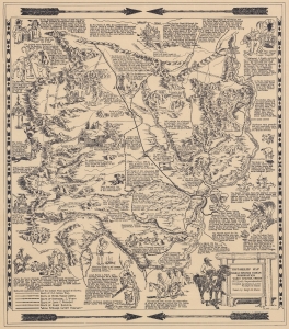
HistoRelief Map of Warm Springs Indian Reservation Warm Springs, Oregon.
$750.00
Acquire
- Digital Map Information
- Suitable for large format printing
- File Size: 17.99 MB
- File Type: ZIP / TIFF
- ICC color profile embedded
- Delivered instantly via download link
This is a 1949 pictorial map of the Warm Springs Indian Reservation, Oregon, compiled by Indian Agents Ralph M. Shane and Ruby D. Leno of the Upper Chinook Tribe. Pictorial vignettes highlight historical events, Native American culture, frontier life, and the conflicts between white settlers and Native Americans. (more details)