
Waugh, Andrew Scott
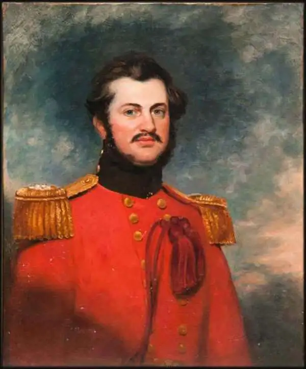
Andrew Scott Waugh (February 3, 1810 - February 21, 1878) was a British geodesist and army officer active in India in the mid-19th century. Waugh was born in Madras, India, the son of Gilbert Waugh, a military auditor-general. He studied at the Addiscombe Military Seminary (Edinburgh) and the Royal School of Military Engineering (Chatham). He was sent to India in 1827 with the Bengal Engineers, serving at Kashipur and then with the Bengal Sappers through 1831. In 1832, having distinguished himself as a military engineer, he was posted to the Great Trigonometrical Survey under George Everest (1790 - 1866). Under Everest, he conducted surveys throughout India through 1843. When Everest retired, he recommended Waugh to succeed him in Dehra Dun as Surveyor General of India. In 1852, under Waugh, the Survey of India trigonometric team calculated the height of Mount Everest. Waugh named the mountain, discovered to be the highest in the world, after his predecessor. Waugh left India in 1861, returning to London where he was active in the Royal Geographical Society. He died there in 1878.
An epic cartographic achievement.
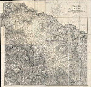
Map of Kashmir with part of Adjacent Mountains surveyed on the basis of the Great Trigonometrical survey of India, under the instructions of Lieutt. Colonel A. S. Waugh, Engineers, F.R.S. F. R.G.S. Survey General of India, by Captain T. G. Montgomerie, Engineers. F.R.G.S. 1st. Assistants under his orders, during 1855, 56 and 57.
$7,000.00
Acquire
- Digital Map Information
- Suitable for large format printing
- File Size: 264.53 MB
- File Type: ZIP / TIFF
- ICC color profile embedded
- Delivered instantly via download link
This is the first edition of Thomas G. Montgomerie's 1859 large-scale map of Kashmir and Jammu - considered the greatest achievement of one of the most epic concerted cartographic efforts in history, the Great Trigonometrical Survey of India. (more details)