
Service Geographique de l'Armée

Service Geographique de L'Armee (fl. 1887 - 1940) was a French military mapping service. They published from 14c. Rue de Grenelle, Paris, France.
Île de Beauté.
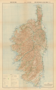
La Corse. Forma Orbis Romani. Carte archéologique de la Gaule romaine Flle. No. 3.
$500.00
Acquire
- Digital Map Information
- Suitable for large format printing
- File Size: 154.07 MB
- File Type: ZIP / TIFF
- ICC color profile embedded
- Delivered instantly via download link
A large-format highly topographical and historical map of Corsica, produced by the Service géographique de l'Armée and published in 1933 as part of the series Forma Orbis Romani Cartes Archéologique de la Gaule Romaine. (more details)