
Geographicus Digital Map Archive
Geographicus
Historic Maps.
Extraordinary Detail.
High-resolution digital scans of rare antique maps.
For printing, research, and creative projects.
Shop Digital ImagesExplore the Geographicus Digital Map Archive
Bring the detail, artistry, and history of rare maps to your next project. The Geographicus Digital Map Archive offers approximately 15,000 high-resolution antique map images. Created from original maps handled by Geographicus Rare Antique Maps, these digital scans serve publishers, scholars, filmmakers, designers, and collectors seeking distinctive historical imagery.
From early world maps and nautical charts to detailed city plans and colorful pictorial maps, the archive spans centuries of geographic discovery and visual storytelling. Find an illustration for a book, a historical source for research, or a striking centerpiece for a creative project.
New Digital Images
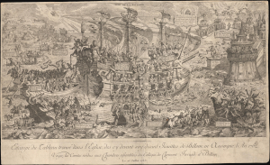
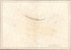
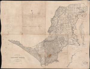
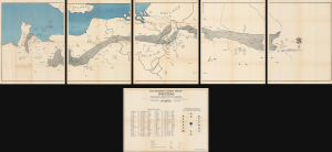
Recently added: rare antique maps now available as high-resolution digital images.
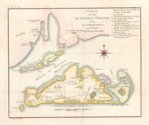
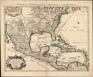
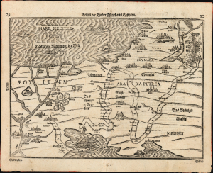
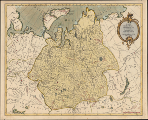
Rare Maps. Remarkable Detail.
Many maps in our archive are difficult to find elsewhere. Some are unique or previously unrecorded examples that we discovered during our years of research and dealing in antique maps. For many items, our archive contains the only high-resolution digital scan known to us.
The collection makes these uncommon materials accessible long after the original maps have passed into private or institutional collections. Fine engraving, hand coloring, elaborate cartouches, and historical place names can be explored in detail and incorporated into new work.
Historical Map Images for Publishing, Research, and Design
Our digital map scans are suited to a wide range of uses:
- Books and publishing: covers, illustrations, editorial features, and historical publications.
- Scholarship and education: research, classroom materials, presentations, and exhibitions.
- Film and television: set decoration, props, historical backgrounds, and production graphics.
- Interior design: framed prints, decorative panels, and large-format reproductions.
- Digital projects: websites, documentaries, videos, and other visual storytelling.
Each image costs $50 USD. We sell the digital scan and do not offer exclusive rights.
High-Resolution TIFF Files
Most images are scanned at 600 DPI at the original map’s size; older scans are generally 300 DPI. Files are supplied as compressed TIFF files, a format widely used for high-quality image editing, publishing, and printing. TIFF stands for Tagged Image File Format. It is a raster image format commonly used to preserve detailed scans for editing and print production. TIFF files can be large, so we supply them compressed for delivery.
The dimensions of the original map matter as much as the scanning resolution. A large map scanned at 300 DPI may contain substantially more image detail than a small map scanned at 600 DPI.
Frequently Asked Questions
How much does a digital map image cost?
Each digital image is $50 USD. Your purchase is for the high-resolution digital file, rather than the physical antique map. We sell the digital scan and do not offer exclusive rights.
How can I use my digital image?
We welcome use of our scans in publishing, scholarship, film, design, and other personal or commercial projects. Geographicus imposes no additional usage restrictions or attribution requirements on the scans we sell.
We believe the underlying maps offered through the digital archive are out of copyright. We charge for access to the digital files; we do not sell copyright, provide exclusive rights, or offer an image license.
Do I need to credit Geographicus?
Credit is optional, but always appreciated. A suggested credit is:
Courtesy of Geographicus Rare Antique Maps LLC
For online use, we appreciate a link to www.geographicus.com.
How large can I print my image?
The answer depends on the file’s pixel dimensions, your desired print size, and how closely the finished image will be viewed.
For example, a map scanned at 600 DPI can be printed at twice its original width and height at 300 DPI, or three times its original dimensions at 200 DPI. A 300 DPI scan enlarged to twice its original dimensions produces a 150 DPI print.
These figures describe output resolution, rather than guaranteeing a particular visual result. Fine lettering examined at close range demands more detail than a decorative wall image viewed from several feet away.
For very large enlargements, consult your printer or graphic designer before production. A small original map may not contain enough detail for a sharp wall-sized print. Image-enhancement software can improve its appearance, but cannot reliably recover historical detail absent from the scan.
Searching our Archive
To find high-resolution map images, search the Geographicus collection by location, subject, cartographer, or keyword, and enable the “Digital Image Available” filter to display scans available for purchase.
If a product page has no digital-image purchase link, a high-resolution scan is unavailable. Some maps remain under copyright protection; others could not be scanned to our quality standards, or their digital files are no longer available. We do not offer digital images of books or atlases. Please review the individual listing to confirm what is included before purchasing.
Find the Map for Your Next Project
Explore the Geographicus collection for high-resolution historical maps, antique city plans, nautical charts, and pictorial imagery. Look for the digital-image purchase option on individual map listings.