
Delagrive, Jean
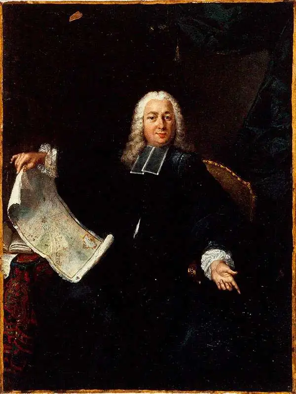
Jean Delagrive (1689 - April 18, 1757), a.k.a 'de La Grive', was a French Lazarist priest, geographer, engraver, and geometrist active in Paris in the first half of the 18th century. Delagrive was born in Sedan, Ardennes, France. After initial studies in the Ardennes, he came to Paris and entered the congregation of the Mission or congregation of the priests of Saint-Lazare. In 1713, after being ordained, he was sent to Krakow, Poland, to teach theology. He returned to Paris in 1714 and thenceforth dedicated himself to the study of geometry and cartography. His first plan of Paris was produced in 1718, but being a perfectionist, he was unsatisfied with the product and destroyed the plates. He published a second map of Paris in 1728, which earned him the post of official geographer of the city of Paris. The plan was definitive for its geometrical precision and accuracy. He continued to publish works on Paris, its environs, Versailles, and the course of the Seine until about 1745. In 1733, he assisted César-François Cassini in measuring of the meridian of the Paris Observatory. It is also one of his maps that first presents the name Champs-Élysées. Within the order of Saint-Lazare, he attained the status of Abbot and is often referred to as Abbé Delagrive. Delagrive died in 1757.
Paris, the Enlightenment City.
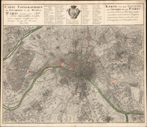
Carte Topographique des Environs et du Plan de Paris leveé par Msr. l'Abbé Delagrive, et Copiée selon l'original Parisien par les Heritiers de fus Dr. Homann Anno 1739. / Karte von der Gegend und Grundris der Stadt Paris, von dem Herrn Abt Delagrive verzeichnet und nach dem Parisischen Original ins kleine gebracht und her ausgegeben von Homoenischen Erben.
$1,100.00
Acquire
- Digital Map Information
- Suitable for large format printing
- File Size: 42.14 MB
- File Type: ZIP / TIFF
- ICC color profile embedded
- Delivered instantly via download link
This is the scarce 1739 Homann Heirs edition of the seminal Jean Delagrive map of Paris, France, and its environs. It illustrates Paris under the reign of King Louis XV, at its peak as a center of Enlightenment thought, with Parisian intellectuals, philosophers, and artists shaping the cultural and political discourse of Europe. (more details)
Spectacular wall map of Paris.
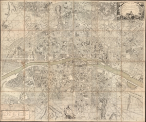
Plan de la Ville et Fauxbourgs de Paris Divise en 20 Quartiers dont la plus grande partie a ete rectifee d'apres differens desseins leve Geometrique, tires du Cabinet de Mr. Cevalier de * * * *... Dedie aux Citoyens de la Capitale Par... Desnos... 1777.
$7,500.00
Acquire
- Digital Map Information
- Suitable for large format printing
- File Size: 265.55 MB
- File Type: ZIP / TIFF
- ICC color profile embedded
- Delivered instantly via download link
This is a spectacular 1777 large-scale map of Paris by Louis-François Deharme, published by Louis Charles Desnos. The map captures Paris during the reign of Louis XV, a period of growing unrest and inter-class resentment that would ultimately culminate in the French Revolution (1789 - 1799). (more details)