
Dubertret, Louis
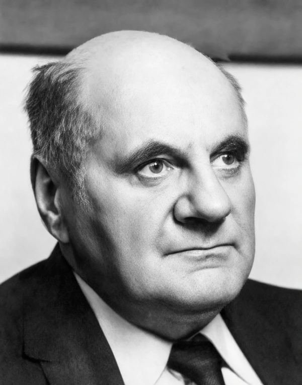
Louis Dubertret (1904 - July 22, 1979) was a Swiss-born French geologist who made important contributions to research on the geology of the Levant, especially Syria and Lebanon. Dubertret was born in Baden, Switzerland, to French parents and spent much of his youth hiking in the Alps, which inspired his later interest in geology. After the First World War, his family returned to France, and Dubertret completed his secondary education in France before attending the École des Mines de Paris to study civil engineering and simultaneously taking natural science courses at the Sorbonne, receiving degrees from both institutions in 1926 (in 1934, he received an engineering doctorate from the Sorbonne, and later a Doctor of Natural Science from the same institution in 1952). In 1927, Dubertret applied to serve in the military outside France and was assigned to the French Army's geographic service in Lebanon, then a French mandate. He was demobilized the following year but had become fascinated with the country and remained after his military service, working in several capacities for the French mandatory government (High-Commissariat of Beyrouth). Over the next several years, Dubertret undertook research in many remote parts of the country that had never before been visited by Western scholars. He and his collaborators produced some of the earliest, detailed maps of Lebanon, Syria, and much of the Levant. Dubertret lived in Beirut for 30 years, from 1926 to 1956, where he taught at the Engineering School and the National Agriculture School, as well as at the University of Damascus. He was also the editor and publisher of the Notes et Mémoires of the Haut Commissariat and was consulted on many regional projects related to water supply, dams, bridges, and other infrastructure. In 1956, 1956, Dubertret returned to Paris to work at the National Center for Scientific Research, where he rose to the post of scientific director in 1959, though he continued to travel to Syria and Lebanon each year. He was deeply involved with the International Association of Hydrogeologists (IAH) and served as its secretary-general for more than 25 years. Dubertret died of a heart attack in Moscow while he was traveling the U.S.S.R. in tandem with an IAH symposium. In 1935, he married fellow geologist Rita Heybroek, with whom he had seven children.
Seminal Geological Map of Syria and Lebanon
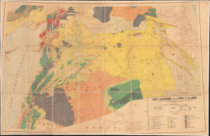
Carte géologique de la Syrie et du Liban.
$1,500.00
Acquire
- Digital Map Information
- Suitable for large format printing
- Full resolution TIFF file
- ICC color profile embedded
- Delivered instantly via download link
This is a 1933 large-format geologic map of the Levant, prepared by Louis Dubertret and colleagues. This map was the first comprehensive, systematic geological synthesis of the northern Levant. Drawing on a wide range of sources, from Ottoman maps to French Army surveys and Dubertret's own pioneering work in rural areas of Syria and Lebanon, it was a seminal map in the geological mapping of the region, including forming a basis for the later exploitation of oil resources. (more details)