
Goujon, Jean
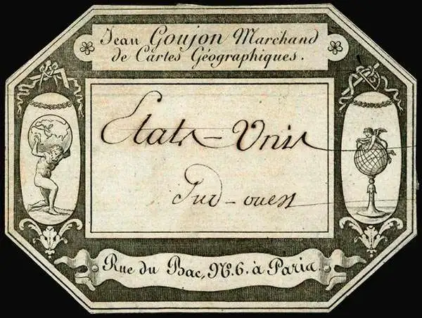
Jean Goujon (fl. c. 1785 - 1825) was a French publisher and mapseller based in Paris. Goujon's work begins appearing shortly before the French Revolution (1789 - 1799) and continues well into the Napoleonic Era (1799 - 1815). He was based out of no. 6, Rue du Bac, Paris. In 1825, Goujon's daughter married Eugène Andriveau. Andriveau soon took over Goujon's shop and took the name, Andriveau-Goujon. The family dynasty that followed became the most prominent geographic publishers in France in the 19th century.
New England during the War of 1812.
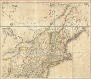
[New England].
$1,000.00
Acquire
- Digital Map Information
- Suitable for large format printing
- File Size: 36.52 MB
- File Type: ZIP / TIFF
- ICC color profile embedded
- Delivered instantly via download link
The northeastern sheet of Pierre Francois Tardieu's 1812 four-sheet map of the United States of America, based on Aaron Arrowsmith's seminal 1796 map of the same. Its publication coincided with the outbreak of the War of 1812 (1812 - 1815). Aside from its aesthetic qualities and level of detail, the map is notable for demonstrating the territorial evolution of the new republic. (more details)
One of the earliest large-format maps to illustrate the discoveries of Lewis and Clark.
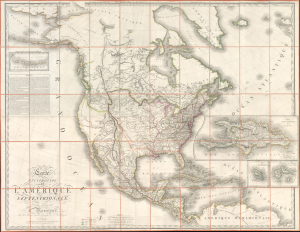
Carte Encyprotype de L'Amérique Septentrionale, Dédiée et présentée à Monsieur, Par M. Brué, Ingénieur-Géographe de S. A. Royale.
$6,500.00
Acquire
- Digital Map Information
- Suitable for large format printing
- File Size: 141.05 MB
- File Type: ZIP / TIFF
- ICC color profile embedded
- Delivered instantly via download link
This is the first edition of Adrien-Hubert Brué's 1815 map of North America, significant as one of the earliest publications to illustrate cartographically and in detail the achievements of the Lewis and Clark Expedition. (more details)