
Peñalosa, Diego Dionisio de
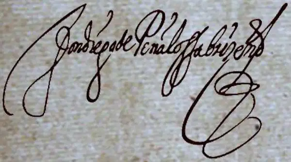
Diego Dionisio de Peñalosa Briceño y Berdugo (1621–1687) was a Spanish colonial soldier and sometime governor of Spanish New Mexico. He was born in Lima, Perú; his early career saw him working within the Spanish Imperial bureaucracy. He rose to the position of Alcalde in the Viceroyalty of Peru, but accusations of misconduct forced him to flee the jurisdiction to evade arrest. He joined the army in New Spain, rising again through the ranks until the Viceroy of New Spain appointed him Governor of New Mexico, a position he would hold from 1661 to 1664. Peñalosa would earn the enmity of Spanish Catholic friars by permitting his domain's Pueblos to retain their cultures and religious practices. This ultimately would see him declared a blasphemer and heretic by Catholic tribunal, and exiled from New Spain in 1665. He then offered his services to James II of England (refused) and then in 1678 to the King of France, Louis XIV (also rejected.) As part of his effort to woo Louis, he provided the French with a manuscript map of New Mexico and the neighboring provinces, notably revealing Spain's silver mines and actively encouraging the French to send him to take the province. He would die in 1687 before any of these plans bore fruit.
Cornerstone American Cartography.
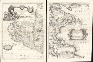
America Settentrionale Colle Cuoue Scoperte fin all' Anno 1688.
$16,000.00
Acquire
- Digital Map Information
- Suitable for large format printing
- File Size: 46.86 MB
- File Type: ZIP / TIFF
- ICC color profile embedded
- Delivered instantly via download link
This is Vincenzo Coronelli's striking 1688 two-sheet map of North America - one of the largest and most influential atlas maps to appear in the late 17th century. It emerged as much of North America had yet to be penetrated or was in the earliest stages of exploration and colonization - a true golden land of possibility. There is much of interest, including being among the first maps to embrace the cartography of Don Diego Peñalosa in New Mexico, a bold embrace of the Insular California trope, recognition of the Danish explorations of Jens Munk, an early usage of the term Chicago (Chekagou), and an interesting mapping of the apocryphal Lake May, the great inland sea of the southeast. (more details)