
Plate, William Henry Francis Plate (Wilhelm Heinrich Franz Plate)
William Henry Francis Plate (Wilhelm Heinrich Franz Plate; March 12, 1810 - August 26, 1853) was a German-British lawyer, geographer, and orientalist active in the mid-19th century. Plate was born in Emden, Lower Saxony, Germany to Henry Francis Frederic Plate, the Governor of Delmanhorst. He studied law, achieving a doctorate, and practice for a short time in Holstein. It is not clear when he emigrated to England, but he was in London from at least 1830, and from that point forward, dedicated himself fully to oriental studies, forgoing the law. At some point, he anglicized his name, Wilhelm Heinrich Franz Plate, and settled in Islington, London. He was a regular at the British Museum. He was admitted to the Société de Géographie in
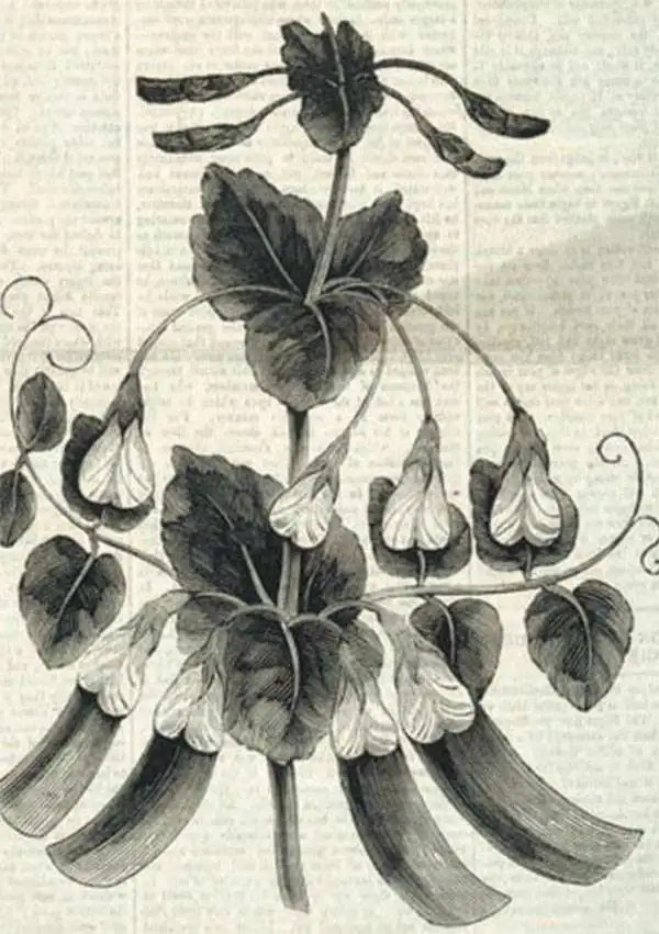
Paris in 1842, where he proposed a second river joining the Sea of Azov to the Black Sea. He was the Head Geographer of the Wernerian Club, Honorary Secretary of the Syro-Egyptian Society of London, member of the Geographical Society of Parus, and a corresponding member of the Deutsche Morgenländische Gesellschaft. Plate was a regular contributor to the London German Gazette and is listed as author for the lengthy entry on ‘Arabia’ in the SDUK Supplement to the Penny Cyclopaedia. At some point, Plate became associated with William Grimstone, who successfully cultivated a pea seed extracted from a 3000-year-old Egyptian vase. Plate apparently sent several 'mummy pea' seeds to Germany where his father cultivated them with great success. Despite an impressive academic career, Plate is perhaps best known as the person who officially recommended Karl Marx for admission to the British Museum Reading Room. Plate's wife suddenly died in 1851, perhaps leading to a spiral of depression, for on August 26, 1853, he tragically committed suicide using prussic acid (oil of bitter almonds).
AKA: Wilhelm Heinrich Franz Plate
Most comprehensive and detailed mid-19th century map of Arabia.

A Map of Arabia and Syria Laid down chiefly from original Surveys Under the Supervision of Leiut. Colonel Chesney, R.A. F.R.S. and drawn by W. H. Plate, L.L.D.
$22,000.00
Acquire
- Digital Map Information
- Suitable for large format printing
- Full resolution TIFF file
- ICC color profile embedded
- Delivered instantly via download link
This is William Henry F. Plate's important 1849 map of Arabia, the Persian Gulf, Syria, and Mesopotamia. The product of a wave of new exploration and surveys in the first half of the 19th century, this map is the most significant and detailed map of Arabia and the Persian Gulf to appear in the mid-19th century. (more details)