
Tayler, J.

J. Tayler (fl. 1861-1875) was an Australian cartographer and draftsman, likely in the employ of the Surveyor General’s Office. His 1871 Map of New South Wales appears to have provided the basis for the bulk of the maps of the state produced prior to the geological survey of 1880.
Gold in Australia!
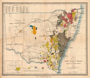
Sketch Map of New South Wales Showing the Localities of the Principal Minerals 1876.
$750.00
Acquire
- Digital Map Information
- Suitable for large format printing
- File Size: 12.84 MB
- File Type: ZIP / TIFF
- ICC color profile embedded
- Delivered instantly via download link
A most interesting 1876 Thomas Richards map of New South Wales, Australia, printed to emphasize the breadth and richness of the colony's mineral resources, in particular, gold. (more details)