
Whittaker, Bruce Bownas CBE

Bruce Bownas Whittaker CBE (June 4, 1915 - 2000) was a British civil servant who worked in the Uganda Protectorate, eventually becoming Director of Uganda's Department of Lands and Surveys. Though his career appears to be largely cloaked in anonymity, he appears to have remained courant in his field, co-authoring a study of photogrammetry in the service of land tenure surveys in the early 60s. His tenure in Uganda would last until Uganda's independence in October 1962, but not before the completion of the first national atlas of Uganda in August of that year.
Ugandan decolonization, independence, and national identity.
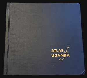
This is a 1962 atlas of the then-imminently-independent nation of Uganda. It was compiled, under the direction of Bruce B. Whittaker, by Uganda's Department of Lands and Surveys. The Atlas is significant in the process of decolonization and the establishment of a unified Ugandan national identity. (more details)