This copy is copyright protected.
Copyright © 2024 Geographicus Rare Antique Maps

Details
1951 Annand Pictorial Map of the Bahamas
1951 (dated) $500.00
1967 Island Workshop Pictorial Map of the Bahamas
Bahamas-islandworkshop-1967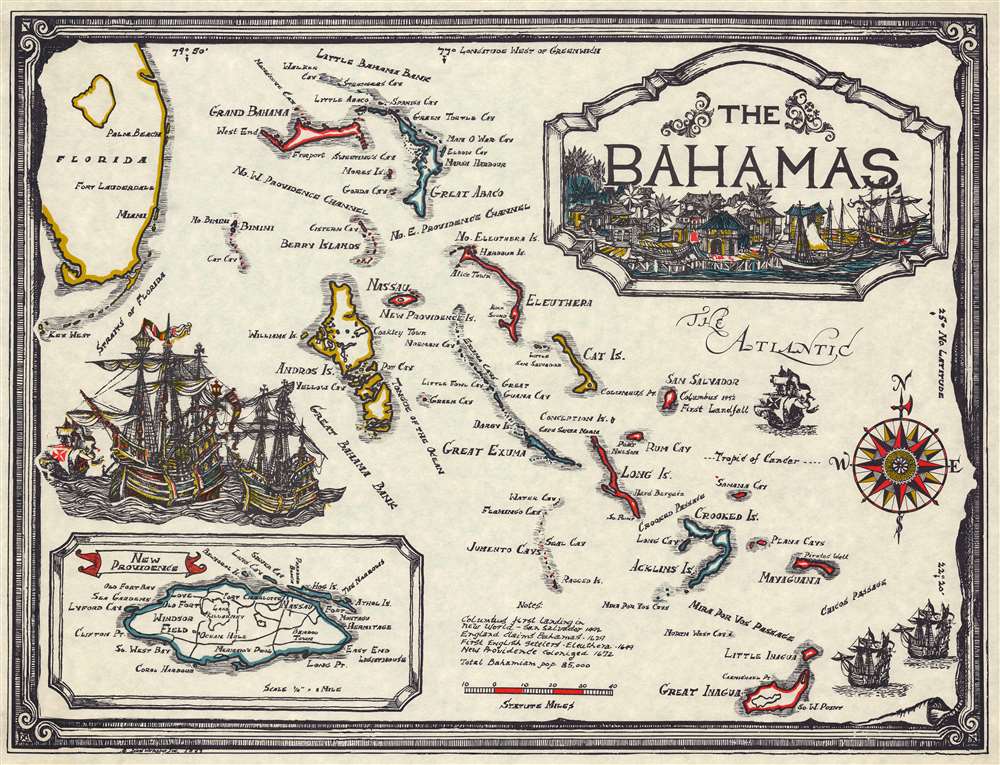

Copyright © 2024 Geographicus Rare Antique Maps | Geographicus Rare Antique Maps
This copy is copyright protected.
Copyright © 2024 Geographicus Rare Antique Maps