This copy is copyright protected.
Copyright © 2024 Geographicus Rare Antique Maps
1910 Rand Avery Map of the New England (Boston and Maine Railroad)
BostonMaine-randavery-1910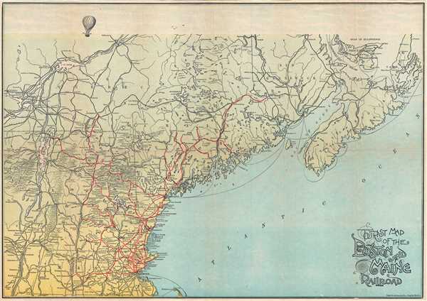

Copyright © 2024 Geographicus Rare Antique Maps | Geographicus Rare Antique Maps
This copy is copyright protected.
Copyright © 2024 Geographicus Rare Antique Maps