This copy is copyright protected.
Copyright © 2024 Geographicus Rare Antique Maps
1924 Imperial Japanese Railway Map of Yantai or Chefoo, Shandong, China
Chefoo-japgovtrail-1924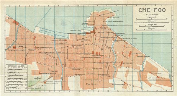

Copyright © 2024 Geographicus Rare Antique Maps | Geographicus Rare Antique Maps
This copy is copyright protected.
Copyright © 2024 Geographicus Rare Antique Maps