This copy is copyright protected.
Copyright © 2024 Geographicus Rare Antique Maps
1956 U.S. Air Force Aeronautical Chart or Map of Burma (Myanmar), East India and Southern China
LakeErh-usaf-1956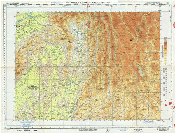

Copyright © 2024 Geographicus Rare Antique Maps | Geographicus Rare Antique Maps
This copy is copyright protected.
Copyright © 2024 Geographicus Rare Antique Maps