This copy is copyright protected.
Copyright © 2024 Geographicus Rare Antique Maps
1840 Century Arabic Comparative Map or Chart of the World's Mountains
MountainsRivers-arabic-1800s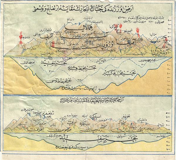

Copyright © 2024 Geographicus Rare Antique Maps | Geographicus Rare Antique Maps
This copy is copyright protected.
Copyright © 2024 Geographicus Rare Antique Maps