This copy is copyright protected.
Copyright © 2024 Geographicus Rare Antique Maps
1894 Hachette Pocket Map of Paris, France (shows Eiffel Tower)
Paris-hachette-1894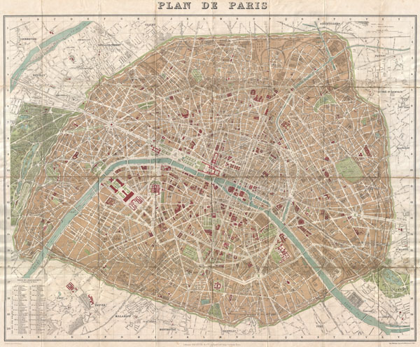

Hachette and Company (fl. 1826 – present) was founded by Louis Hachette (1801 - 1864) in 1826 with the purchase of the Paris Bookshop Brédif. Shortly after acquiring the bookshop Louis Hachette began publishing Le Journal pour Tous, a successful general interest magazine. He also published a series of useful reference works which were sold through Paris in bookshops, train stations, and public offices. These included multiple maps and atlases geared toward the tourist visiting Paris for the first time. Louis Hachette himself died in 1864, but his empire continued to grow under the governance of his sons. Eventually the Hachette publishing firm came to dominate French publishing and attracted international interest. Via a series of mergers and acquisitions the firm eventually came under the control of Filipacchi Media and was rename Hachette-Filipacchi. Today the firm publishes books and magazines internationally. More by this mapmaker...
Alexandre Aimé Vuillemin (1812 - 1880) was an engraver, publisher, and editor based in Paris, France in the middle of the 19th century. Despite a prolific publishing career, much of Vuillemin's life is shrouded in mystery. In 1852, he married Josephine Caroline Goret and they had at least one child, Ernestine Adèle Vuillemin, later in the same year. What is known is that his studied under the prominent French Auguste Henri Dufour (1798 - 1865). Vuillemin's most important work his detailed, highly decorative large format Atlas Illustre de Geographie Commerciale et Industrielle. Learn More...
Copyright © 2024 Geographicus Rare Antique Maps | Geographicus Rare Antique Maps
This copy is copyright protected.
Copyright © 2024 Geographicus Rare Antique Maps