This copy is copyright protected.
Copyright © 2024 Geographicus Rare Antique Maps
1934 Showa 9 Panoramaic Map of Japan, Korea, Taiwan and Manchuria
Railguide2-japan-1934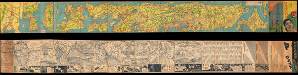

Copyright © 2024 Geographicus Rare Antique Maps | Geographicus Rare Antique Maps
This copy is copyright protected.
Copyright © 2024 Geographicus Rare Antique Maps